Photo corners
Ponta dos Rosais Lighthouse
Sao Roque do Pico, Portugal
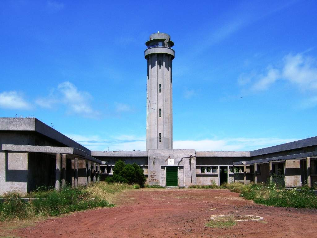
The Ponta dos Rosais Lighthouse (Portuguese: Farol da Ponta dos Rosais) is a beacon and lighthouse located along the 200 m cliffs of Ponta dos Rosais near Rosais in the extreme northwest of the island of São Jorge, in the Archipelago of the Azores, Portugal. It includes the main tower and several living quarters and auxiliary buildings constructed for the maintenance and operation of the lighthouse, currently abandoned and in ruins. This includes structures such as a motor-pool, a communal hearth and a series of concrete lavoirs for washing, as well as the larger block devoted to administration and private residences.
- Category
- Photo Spots
- Location
- Sao Roque do Pico, Portugal
- Coordinates
- 38.75367, -28.31155
- How to get there
- Google MapsApple MapsOpenStreetMap
- Wikidata
- Q6546366
What is Ponta dos Rosais Lighthouse?
Ponta dos Rosais Lighthouse is a Photo Spots place on VeroMaps. Other places close by: ermitage de Notre-Dame de Livramento, Ribeirinha Lighthouse, Horta Breakwater Light, Botanical Garden of Faial.
Where is Ponta dos Rosais Lighthouse?
Ponta dos Rosais Lighthouse is in Sao Roque do Pico, Portugal. Coordinates: 38.75367, -28.31155.
How do I get to Ponta dos Rosais Lighthouse?
Ponta dos Rosais Lighthouse is at Sao Roque do Pico, Portugal (38.75367, -28.31155). Enter these coordinates in Google Maps, Apple Maps or OpenStreetMap for walking, cycling or driving directions.