Photo corners
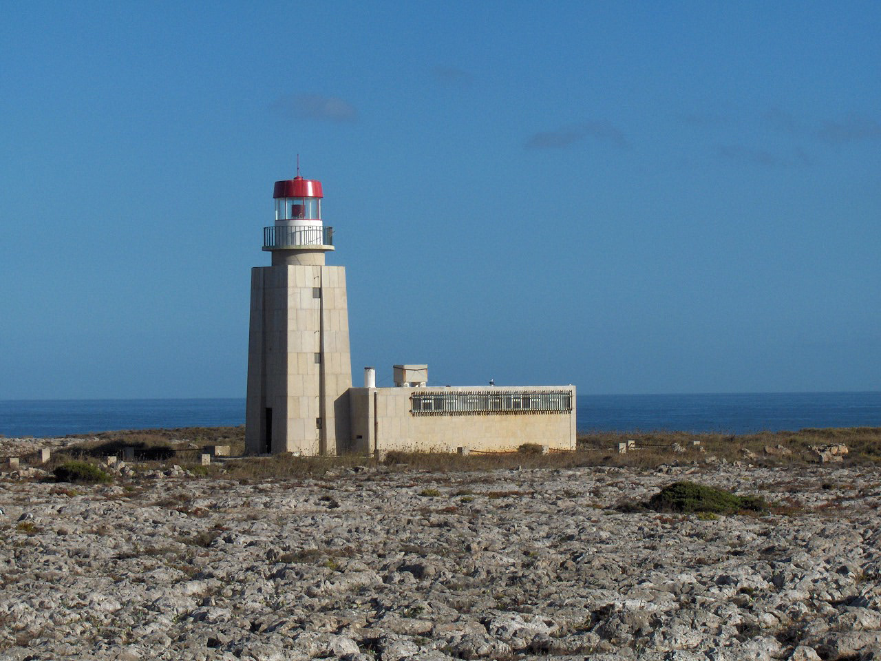
Ponta de Sagres Lighthouse
Sagres, Portugal
The Lighthouse of Ponta de Sagres (Portuguese: Estação Rádio-Goniométrica/Farolim de Sagres/Farol da Ponta de Sagres), is beacon/lighthouse located along the coastal peninsula of Sagres Point in the civil parish of Sagres, in the Portuguese municipality of the Vila do Bispo.
- Category
- Photo Spots
- Location
- Sagres, Portugal
- Coordinates
- 36.99451, -8.94929
- How to get there
- Google MapsApple MapsOpenStreetMap
- Wikidata
- Q8960909
What is Ponta de Sagres Lighthouse?
Ponta de Sagres Lighthouse is a Photo Spots place on VeroMaps. Other places close by: Pousada de São Vicente, Cabo de São Vicente Lighthouse, Conjunto de menires de Milrei e do Padrão, Menir de Aspradantes.
Where is Ponta de Sagres Lighthouse?
Ponta de Sagres Lighthouse is in Sagres, Portugal. Coordinates: 36.99451, -8.94929.
How do I get to Ponta de Sagres Lighthouse?
Ponta de Sagres Lighthouse is at Sagres, Portugal (36.99451, -8.94929). Enter these coordinates in Google Maps, Apple Maps or OpenStreetMap for walking, cycling or driving directions.