Photo corners
Pont du Gard
Castillon-du-Gard, France
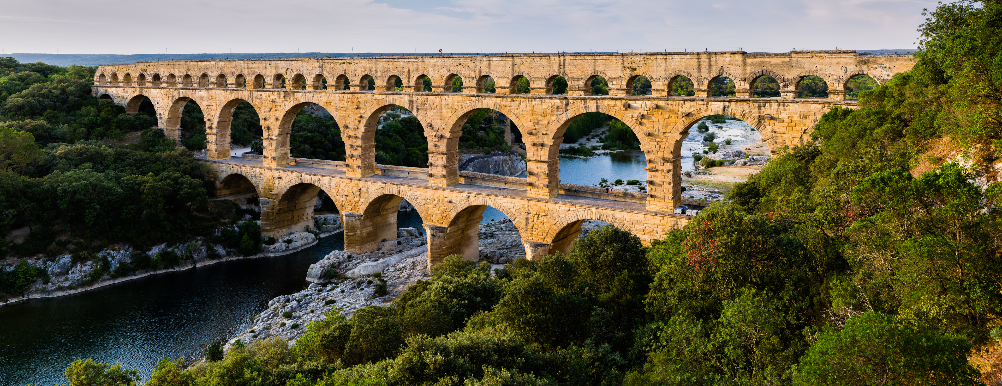
The Pont du Gard is an ancient Roman aqueduct bridge built in the first century AD to carry water over 50 km (31 mi) to the Roman colony of Nemausus (Nîmes). It crosses the river Gardon near the town of Vers-Pont-du-Gard in southern France. The Pont du Gard is one of the best preserved Roman aqueduct bridges. It was added to UNESCO's list of World Heritage sites in 1985 because of its exceptional preservation, historical importance, and architectural ingenuity.
- Category
- Photo Spots
- Location
- Castillon-du-Gard, France
- Coordinates
- 43.94730, 4.53550
- How to get there
- Google MapsApple MapsOpenStreetMap
- Wikidata
- Q189764
What is Pont du Gard?
Pont du Gard is a Photo Spots place on VeroMaps. Other places close by: Chapelle Saint-Pierre de Vers-Pont-du-Gard, Chapelle Saint-Caprais de Castillon-du-Gard, Grotte de la Salpêtrière, grotte Bayol.
Where is Pont du Gard?
Pont du Gard is in Castillon-du-Gard, France. Coordinates: 43.94730, 4.53550.
How do I get to Pont du Gard?
Pont du Gard is at Castillon-du-Gard, France (43.94730, 4.53550). Enter these coordinates in Google Maps, Apple Maps or OpenStreetMap for walking, cycling or driving directions.