Photo corners
Pont de Neuilly
Neuilly-sur-Seine, France
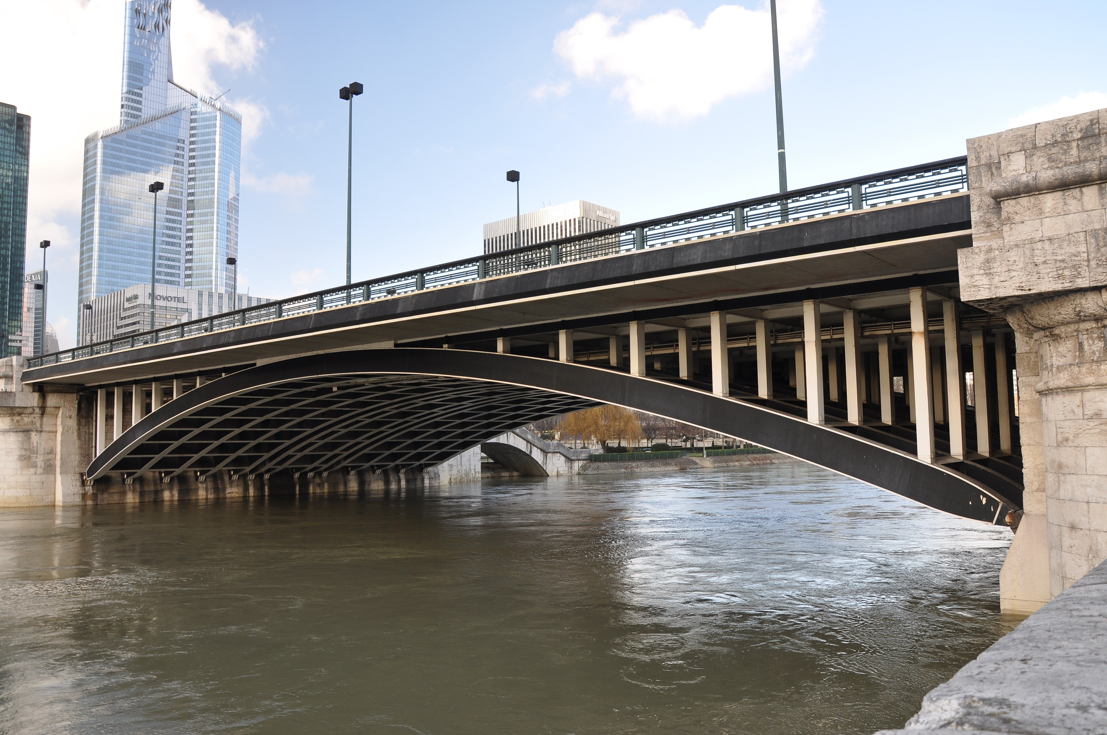
The Pont de Neuilly (English: Bridge of Neuilly) is a road and rail bridge carrying the Route nationale 13 (N13) and Paris Métro Line 1 which crosses the Seine between the right bank of Neuilly-sur-Seine and Courbevoie and Puteaux on the left bank in the department of Hauts-de-Seine. It faces the headquarters of La Défense and is aligned on the Axe historique of Paris.
- Category
- Photo Spots
- Location
- Neuilly-sur-Seine, France
- Coordinates
- 48.88667, 2.25472
- How to get there
- Google MapsApple MapsOpenStreetMap
- Wikidata
- Q1573266
What is Pont de Neuilly?
Pont de Neuilly is a Photo Spots place on VeroMaps. Other places close by: Fontaine, Center of New Industries and Technologies, usine PSA de La Garenne, Hyatt Regency Paris Etoile.
Where is Pont de Neuilly?
Pont de Neuilly is in Neuilly-sur-Seine, France. Coordinates: 48.88667, 2.25472.
How do I get to Pont de Neuilly?
Pont de Neuilly is at Neuilly-sur-Seine, France (48.88667, 2.25472). Enter these coordinates in Google Maps, Apple Maps or OpenStreetMap for walking, cycling or driving directions.