Urbex & Abandoned
Pon Pon Chapel
Colleton County, United States
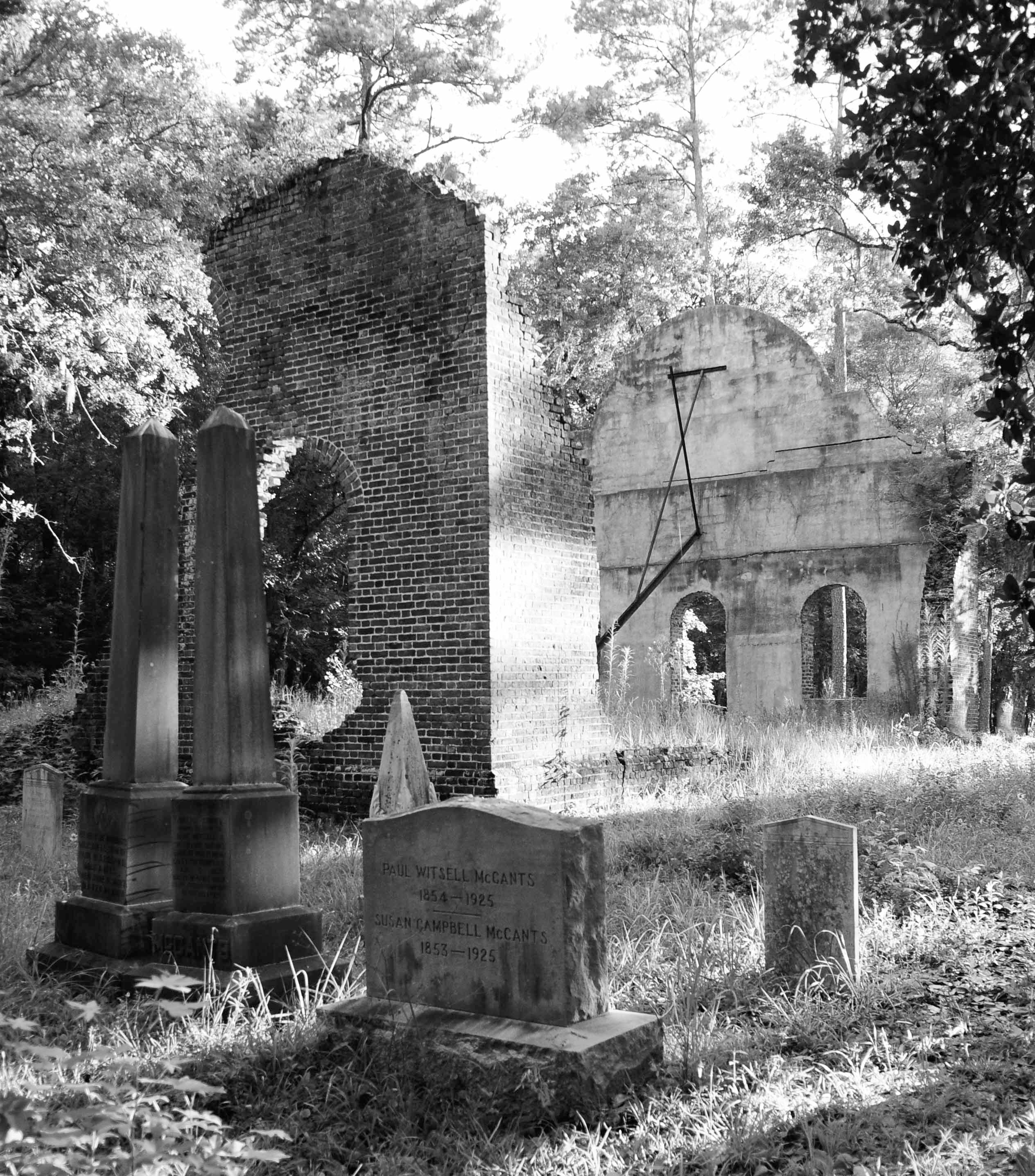
Pon Pon Chapel was built in 1820 in Jacksonboro, South Carolina. It was located "on Parker’s Ferry Road, the busy stagecoach thoroughfare that connected Charleston, South Carolina and Savannah, Georgia." Today, Parker's Ferry Road is a barely paved road along the south side of a power line right of way, and the ruins of the chapel can be found along this road east of Jacksonboro Road (State Road S-15-40). It was listed on the National Register of Historic Places in 1972.
- Category
- Urbex & Abandoned
- Location
- Colleton County, United States
- Coordinates
- 32.80833, -80.49250
- How to get there
- Google MapsApple MapsOpenStreetMap
- Wikidata
- Q7227545
What is Pon Pon Chapel?
Pon Pon Chapel is a Urbex & Abandoned place on VeroMaps. Other places close by: General Asbestos and Rubber Company Main Mill, John Rutledge House, Meeting Street Inn, Cypress Gardens.
Where is Pon Pon Chapel?
Pon Pon Chapel is in Colleton County, United States. Coordinates: 32.80833, -80.49250.
How do I get to Pon Pon Chapel?
Pon Pon Chapel is at Colleton County, United States (32.80833, -80.49250). Enter these coordinates in Google Maps, Apple Maps or OpenStreetMap for walking, cycling or driving directions.