Photo corners
Podyjí National Park
Hardegg, Czech Republic
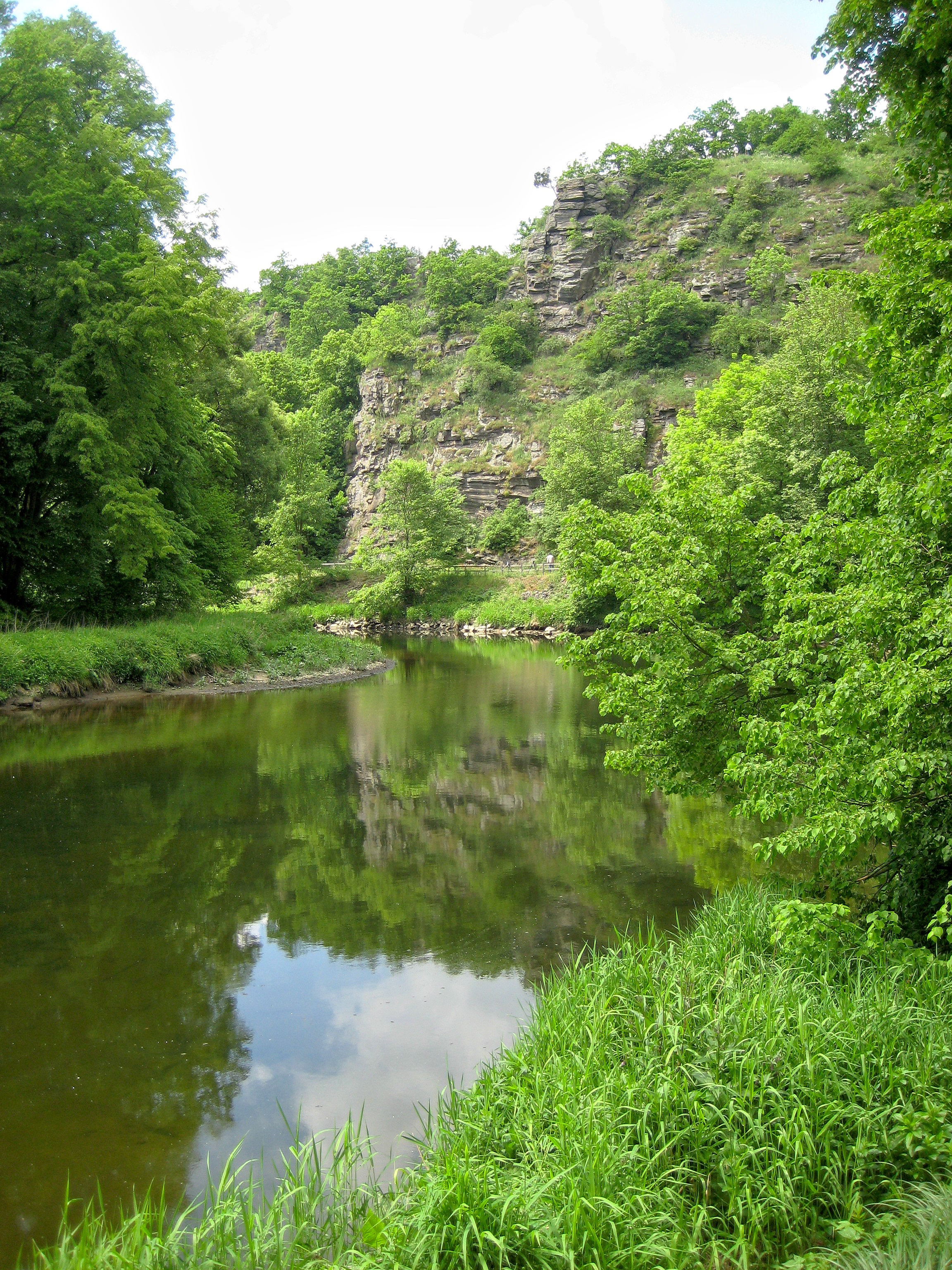
Podyjí National Park (Czech: Národní park Podyjí) is a national park in the South Moravian Region of the Czech Republic. Adjacent to Austria's Thayatal National Park on the border, together they are referred to as the Inter-National park. Podyjí is one of the Czech Republic's four national parks.
- Category
- Photo Spots
- Location
- Hardegg, Czech Republic
- Coordinates
- 48.84778, 15.89722
- How to get there
- Google MapsApple MapsOpenStreetMap
- Wikidata
- Q2006345
What is Podyjí National Park?
Podyjí National Park is a Photo Spots place on VeroMaps. Other places close by: Nový Hrádek, National Park Thayatal, Hardegg Castle, Fronsburger Bründl.
Where is Podyjí National Park?
Podyjí National Park is in Hardegg, Czech Republic. Coordinates: 48.84778, 15.89722.
How do I get to Podyjí National Park?
Podyjí National Park is at Hardegg, Czech Republic (48.84778, 15.89722). Enter these coordinates in Google Maps, Apple Maps or OpenStreetMap for walking, cycling or driving directions.