Photo corners
Plaka Bridge
North Tzoumerka Municipality, Greece
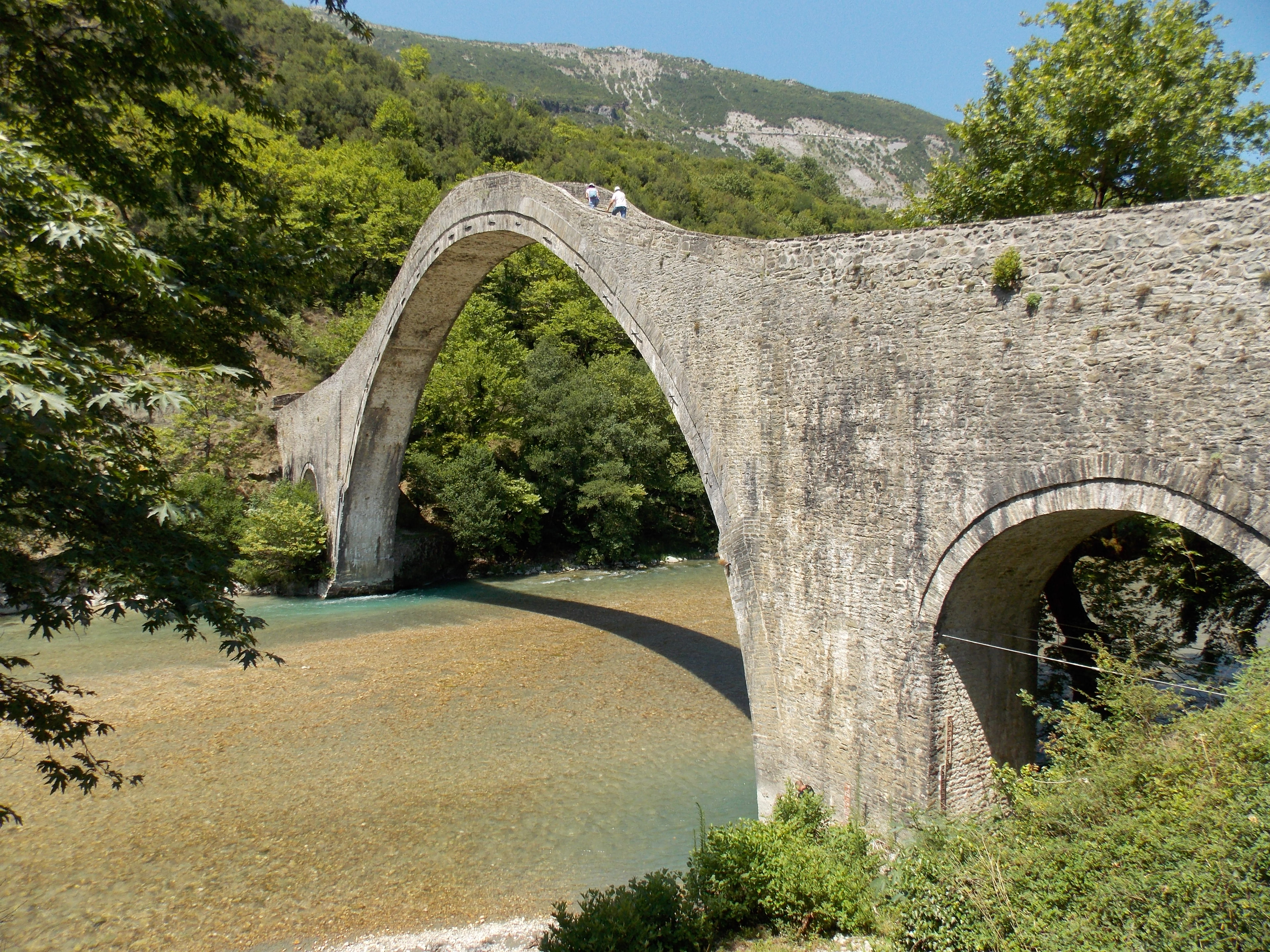
Plaka Bridge (Greek: Γεφύρι της Πλάκας, Gefýri tis Plákas) is a 19th-century stone one-arch bridge in Greece. It collapsed multiple times, starting in 1860, later in 1863 and most recently in 2015, it was later rebuilt in 2020 and still stands today. It is located at the borders of Arta and Ioannina prefectures, above the waters of Arachthos River. Administratively, it belongs to the community of Plaka-Raftaneon. With its arch of 40 metres (130 ft) width and 17.61 m (57 ft 9 in) height, it is the largest one-arch bridge in Greece and the Balkans, and the third largest one-arch stone bridge in Europe. It also had two small auxiliary arches of 6 metres (20 ft) width on its two sides. It was considered "one of the most difficult, single-arch bridges to construct." The bridge is also the starting point for rafting and canoeing on Arachthos River.
- Category
- Photo Spots
- Location
- North Tzoumerka Municipality, Greece
- Coordinates
- 39.46050, 21.02989
- How to get there
- Google MapsApple MapsOpenStreetMap
- Wikidata
- Q18926506
What is Plaka Bridge?
Plaka Bridge is a Photo Spots place on VeroMaps. Other places close by: Papastathis Bridge, Dodona, Bridge of Arta, Cassope.
Where is Plaka Bridge?
Plaka Bridge is in North Tzoumerka Municipality, Greece. Coordinates: 39.46050, 21.02989.
How do I get to Plaka Bridge?
Plaka Bridge is at North Tzoumerka Municipality, Greece (39.46050, 21.02989). Enter these coordinates in Google Maps, Apple Maps or OpenStreetMap for walking, cycling or driving directions.