Local Legends
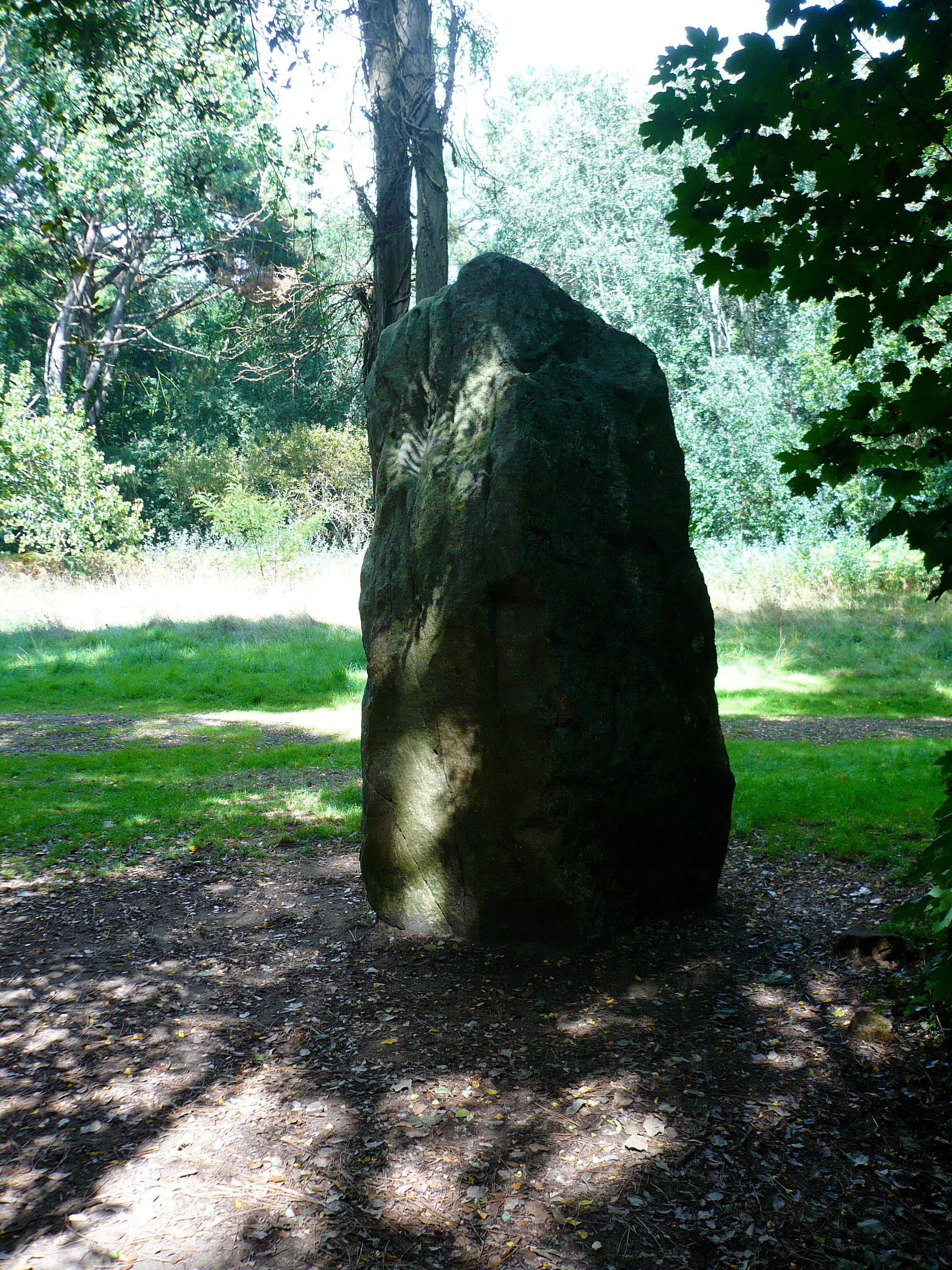
Pierre Attelée menhir
Saint-Michel-Chef-Chef, France
Der Menhir de la Pierre Attelée steht in einem öffentlichen Park nördlich der Straße Chemin Du Reveau in Saint-Brevin-les-Pins im Département Loire-Atlantique in Frankreich. Der etwa quaderförmige Menhir Pierre Attelée hat eine Höhe von 2,7 m, eine Basisbreite von 1,3 m und einer Dicke von 0,90 m.
- Category
- Local Legends
- Location
- Saint-Michel-Chef-Chef, France
- Coordinates
- 47.19780, -2.15389
- How to get there
- Google MapsApple MapsOpenStreetMap
- Wikidata
- Q3305911
What is Pierre Attelée menhir?
Pierre Attelée menhir is a Local Legends place on VeroMaps. Other places close by: Pierres Couchées menhir, Les Rossignols dolmen, La Briordais dolmen, Le Plessis-Gamat menhir.
Where is Pierre Attelée menhir?
Pierre Attelée menhir is in Saint-Michel-Chef-Chef, France. Coordinates: 47.19780, -2.15389.
How do I get to Pierre Attelée menhir?
Pierre Attelée menhir is at Saint-Michel-Chef-Chef, France (47.19780, -2.15389). Enter these coordinates in Google Maps, Apple Maps or OpenStreetMap for walking, cycling or driving directions.