Forgotten History
Peñafiel Castle
Zarza la Mayor, Spain
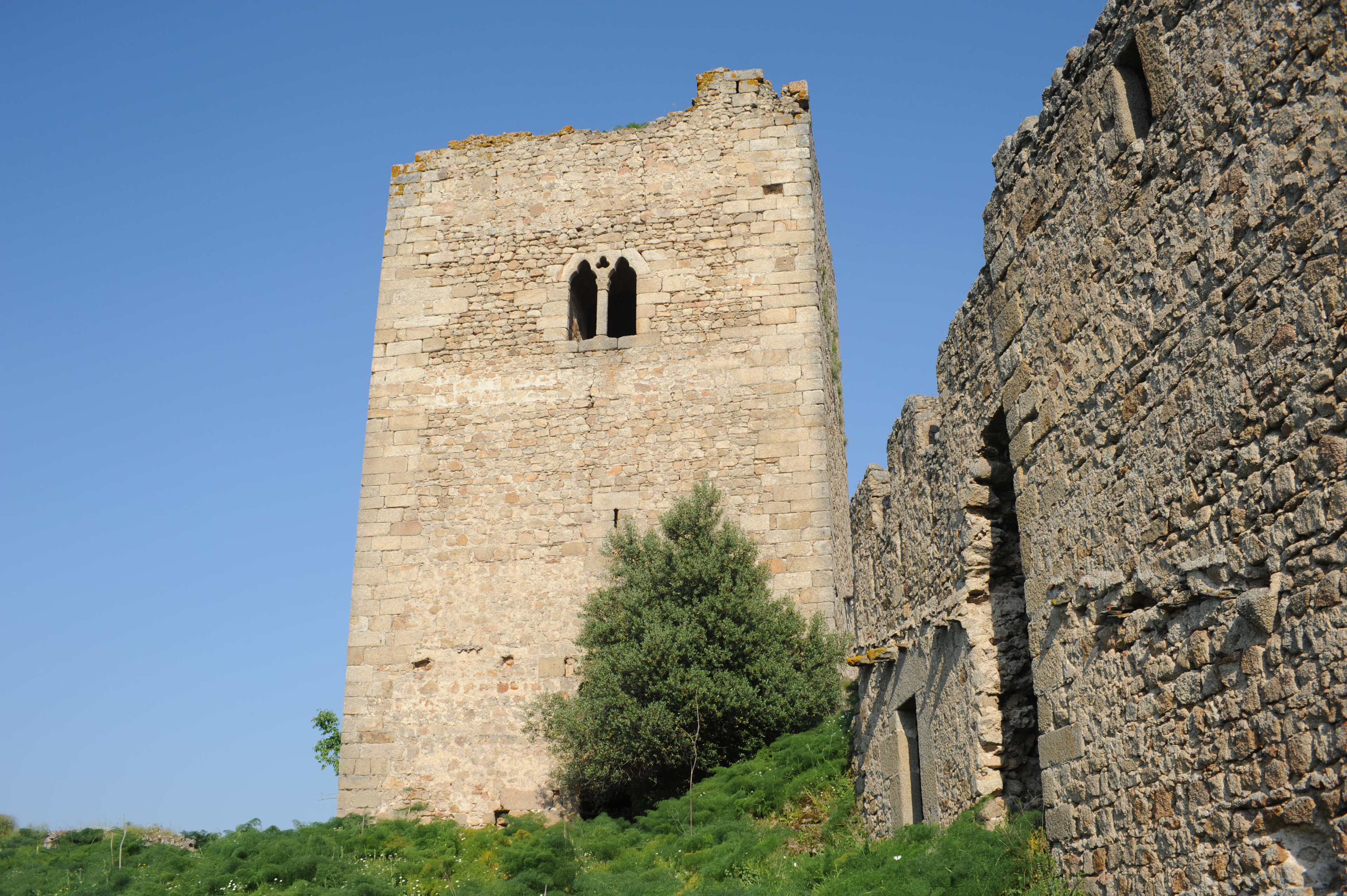
El castillo de Peñafiel o de Racha Rachel es una fortificación situada en el término municipal español de Zarza la Mayor, perteneciente a la provincia de Cáceres, en Extremadura. La fortaleza, cuya construcción se remonta al siglo XIII, está ubicada dentro del parque natural del Tajo Internacional.
- Category
- Forgotten History
- Location
- Zarza la Mayor, Spain
- Coordinates
- 39.88057, -6.90121
- How to get there
- Google MapsApple MapsOpenStreetMap
- Wikidata
- Q5757518
What is Peñafiel Castle?
Peñafiel Castle is a Forgotten History place on VeroMaps. Other places close by: Fortaleza de Segura, Convent of San Bartolomé, Alcántara, Castelo de Idanha-a-Velha, Dolmen Maimón II.
Where is Peñafiel Castle?
Peñafiel Castle is in Zarza la Mayor, Spain. Coordinates: 39.88057, -6.90121.
How do I get to Peñafiel Castle?
Peñafiel Castle is at Zarza la Mayor, Spain (39.88057, -6.90121). Enter these coordinates in Google Maps, Apple Maps or OpenStreetMap for walking, cycling or driving directions.