Forgotten History
Pella
Pella Municipality, Greece
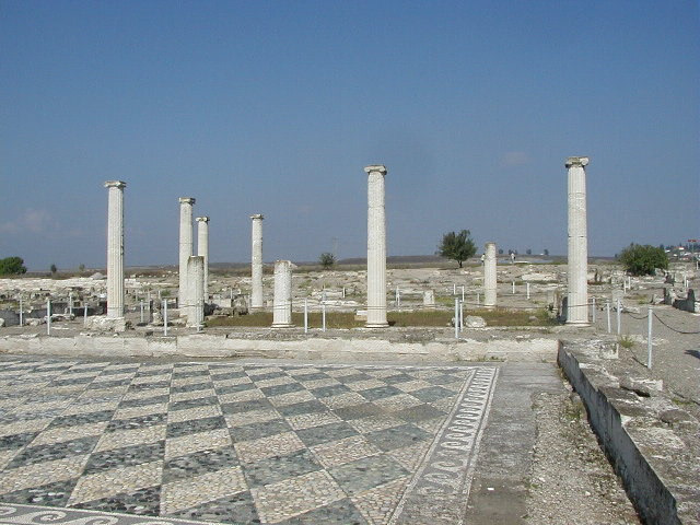
Pella (Ancient Greek: Πέλλα) was the capital of the ancient Greek kingdom of Macedon from the 4th century BC up until the Roman conquest in 168 BC. Pella was the birthplace of Philip II in 382 BC, and his son Alexander the Great in 356 BC. It is located 1 km outside the modern town of Pella in Central Macedonia, Greece.
- Category
- Forgotten History
- Location
- Pella Municipality, Greece
- Coordinates
- 40.76003, 22.52564
- How to get there
- Google MapsApple MapsOpenStreetMap
- Wikidata
- Q213679
What is Pella?
Pella is a Forgotten History place on VeroMaps. Other places close by: Angelochori Lighthouse, Makedonia Palace, Amyntaio mine, Platamon Castle.
Where is Pella?
Pella is in Pella Municipality, Greece. Coordinates: 40.76003, 22.52564.
How do I get to Pella?
Pella is at Pella Municipality, Greece (40.76003, 22.52564). Enter these coordinates in Google Maps, Apple Maps or OpenStreetMap for walking, cycling or driving directions.