Photo corners
Parkland Walk
London Borough of Islington, United Kingdom
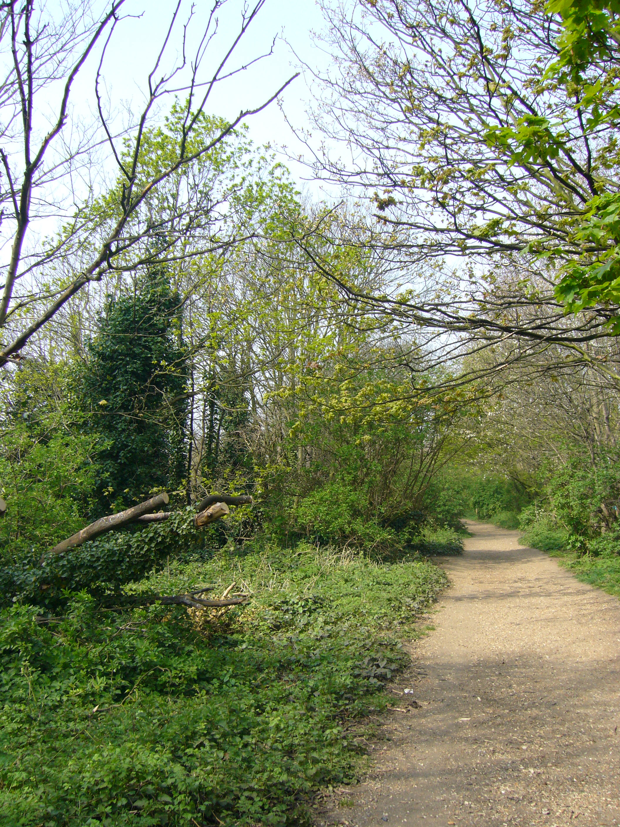
The Parkland Walk is a 3.1-mile (5.0 km) linear green pedestrian and cycle route in north London, England; it is often mistakenly described as being 4.5 miles long. It follows the course of the Edgware, Highgate and London Railway that connected Finsbury Park and Alexandra Palace, via Stroud Green, Crouch End, Highgate and Muswell Hill. The route follows the bridges and cuttings of the line, but avoids the closed surface section of Highgate station and its adjoining tunnels, which are closed to walkers for safety reasons. The rail trail is almost all in Haringey, but a short stretch between Crouch Hill and Crouch End Hill is in Islington; this section incorporates Crouch Hill Park. The walk is a local nature reserve and a Site of Metropolitan Importance for Nature Conservation. It was declared a local nature reserve in 1990 and is London's longest such reserve. Between Finsbury Park and Highgate, the path forms part of the Capital Ring strategic walking route.
- Category
- Photo Spots
- Location
- London Borough of Islington, United Kingdom
- Coordinates
- 51.57420, -0.12450
- How to get there
- Google MapsApple MapsOpenStreetMap
- Wikidata
- Q3661835
What is Parkland Walk?
Parkland Walk is a Photo Spots place on VeroMaps. Other places close by: Nambucca, Railway Fields, The Gatehouse, Highgate, Bull and Gate.
Where is Parkland Walk?
Parkland Walk is in London Borough of Islington, United Kingdom. Coordinates: 51.57420, -0.12450.
How do I get to Parkland Walk?
Parkland Walk is at London Borough of Islington, United Kingdom (51.57420, -0.12450). Enter these coordinates in Google Maps, Apple Maps or OpenStreetMap for walking, cycling or driving directions.