Forgotten History
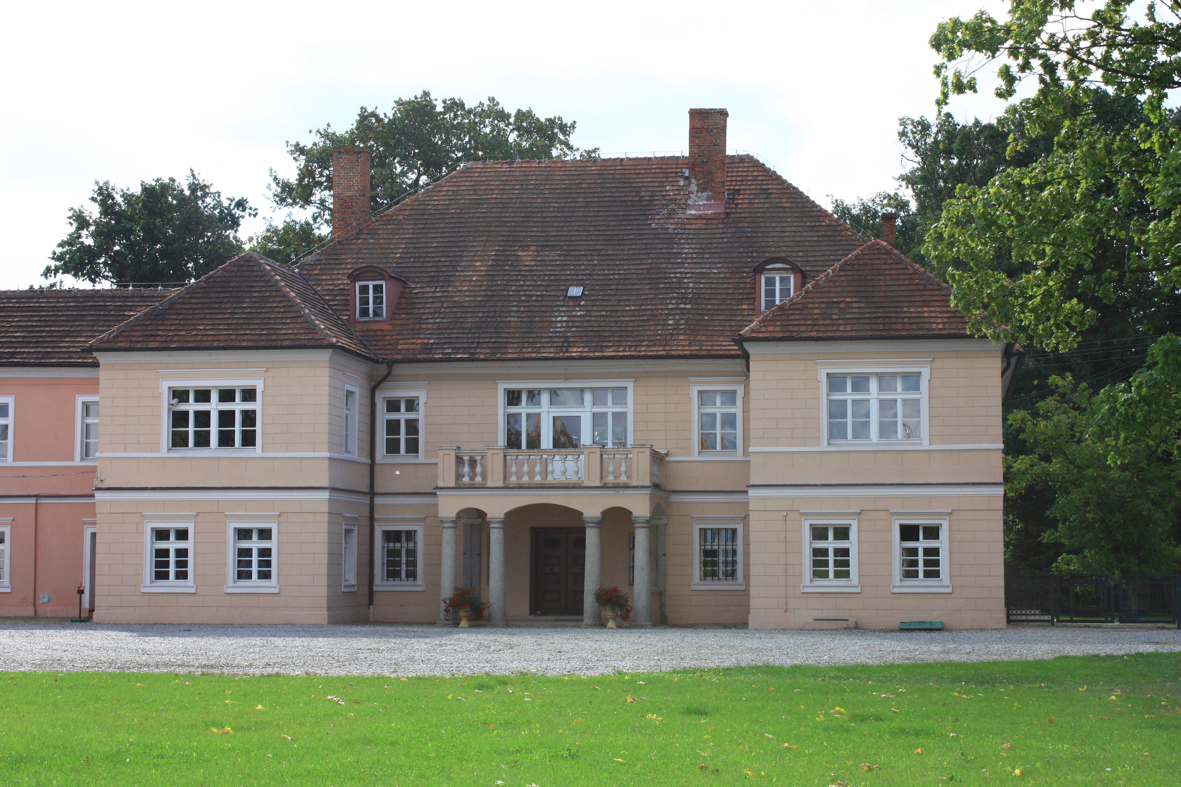
Palace in Białków
Białków, Poland
Palace in Białków - a historic palace built in the 17th century in Białków, a village in Poland, Lower Silesian Voivodeship, Środa Śląska County, Miękinia commune.
- Category
- Forgotten History
- Location
- Białków, Poland
- Coordinates
- 51.21608, 16.76528
- How to get there
- Google MapsApple MapsOpenStreetMap
- Wikidata
- Q24941406
What is Palace in Białków?
Palace in Białków is a Forgotten History place on VeroMaps. Other places close by: Wojnowice Castle, Palace in Brzezina, Pałac w Gosławicach, Prężyce Palace.
Where is Palace in Białków?
Palace in Białków is in Białków, Poland. Coordinates: 51.21608, 16.76528.
How do I get to Palace in Białków?
Palace in Białków is at Białków, Poland (51.21608, 16.76528). Enter these coordinates in Google Maps, Apple Maps or OpenStreetMap for walking, cycling or driving directions.