Restaurants
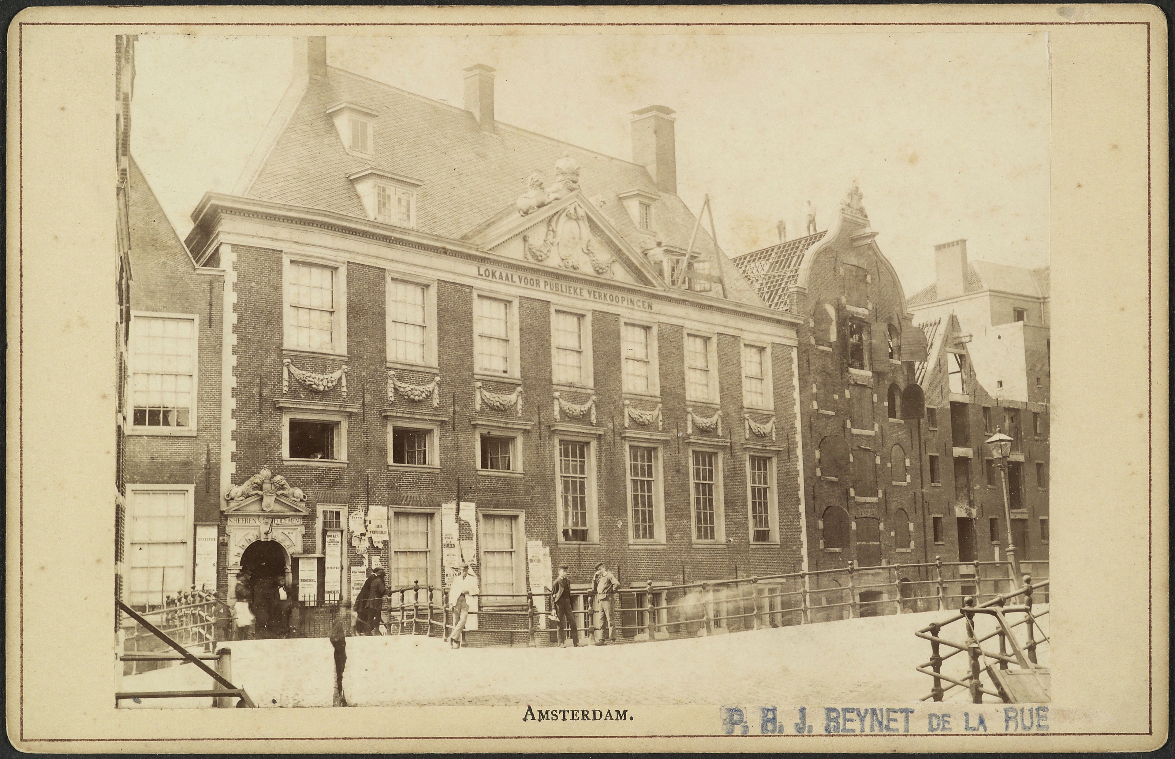
Oudezijds Heerenlogement
Amsterdam, Netherlands
Het Oudezijds Heerenlogement was een chique herberg voor voorname gasten aan de Grimburgwal te Amsterdam, gebouwd in 1647. Het gebouw werd in 1874 afgebroken om plaats te maken voor nieuwe bebouwing van het Binnengasthuis.
- Category
- Restaurants
- Location
- Amsterdam, Netherlands
- Coordinates
- 52.36917, 4.89472
- How to get there
- Google MapsApple MapsOpenStreetMap
- Wikidata
- Q56644875
What is Oudezijds Heerenlogement?
Oudezijds Heerenlogement is a Restaurants place on VeroMaps. Other places close by: Agnietenkapel, Equestrian statue of Queen Wilhelmina, Flore, Excelsior.
Where is Oudezijds Heerenlogement?
Oudezijds Heerenlogement is in Amsterdam, Netherlands. Coordinates: 52.36917, 4.89472.
How do I get to Oudezijds Heerenlogement?
Oudezijds Heerenlogement is at Amsterdam, Netherlands (52.36917, 4.89472). Enter these coordinates in Google Maps, Apple Maps or OpenStreetMap for walking, cycling or driving directions.