Forgotten History
Ortenburg
Germany
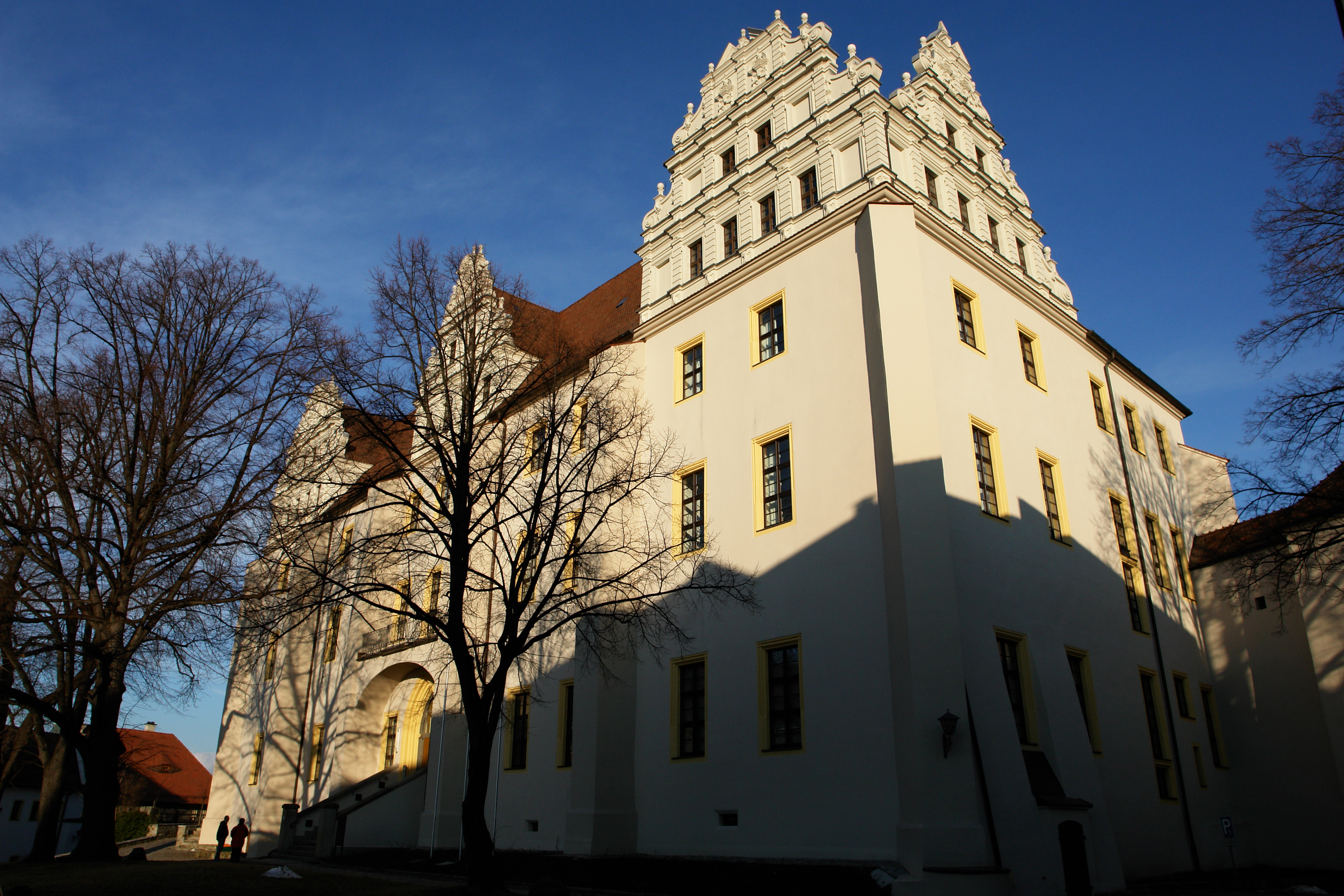
The Ortenburg, Upper Sorbian only Hród (castle) in Bautzen, is located about 20 meters high on a rocky spur above the eastern bank of the Spree. It was first mentioned in 1405 as “castrum Orthenburg in Budissin”. Research derives the name from the literal connection with the medieval term “ort” or “ert” for an advanced location in the terrain. It gained strategic importance from the nearby river crossings, which, particularly conveniently located between the southern wooded mountain ridges and the northern, often swampy heathlands, bundled important traffic routes in a west-east direction.
- Category
- Forgotten History
- Location
- Germany
- Address
- Ortenburg 9
- Coordinates
- 51.18310, 14.42040
- How to get there
- Google MapsApple MapsOpenStreetMap
- Wikidata
- Q1255971
What is Ortenburg?
Ortenburg is a Forgotten History place on VeroMaps, on Ortenburg 9. Other places close by: Mühlbastei, Nicolaiturm, Nikolaikirche, Cathedral of St Peter, Bautzen.
Where is Ortenburg?
Ortenburg is in Germany. Coordinates: 51.18310, 14.42040.
How do I get to Ortenburg?
Ortenburg is at Ortenburg 9, Germany (51.18310, 14.42040). Enter these coordinates in Google Maps, Apple Maps or OpenStreetMap for walking, cycling or driving directions.