Forgotten History
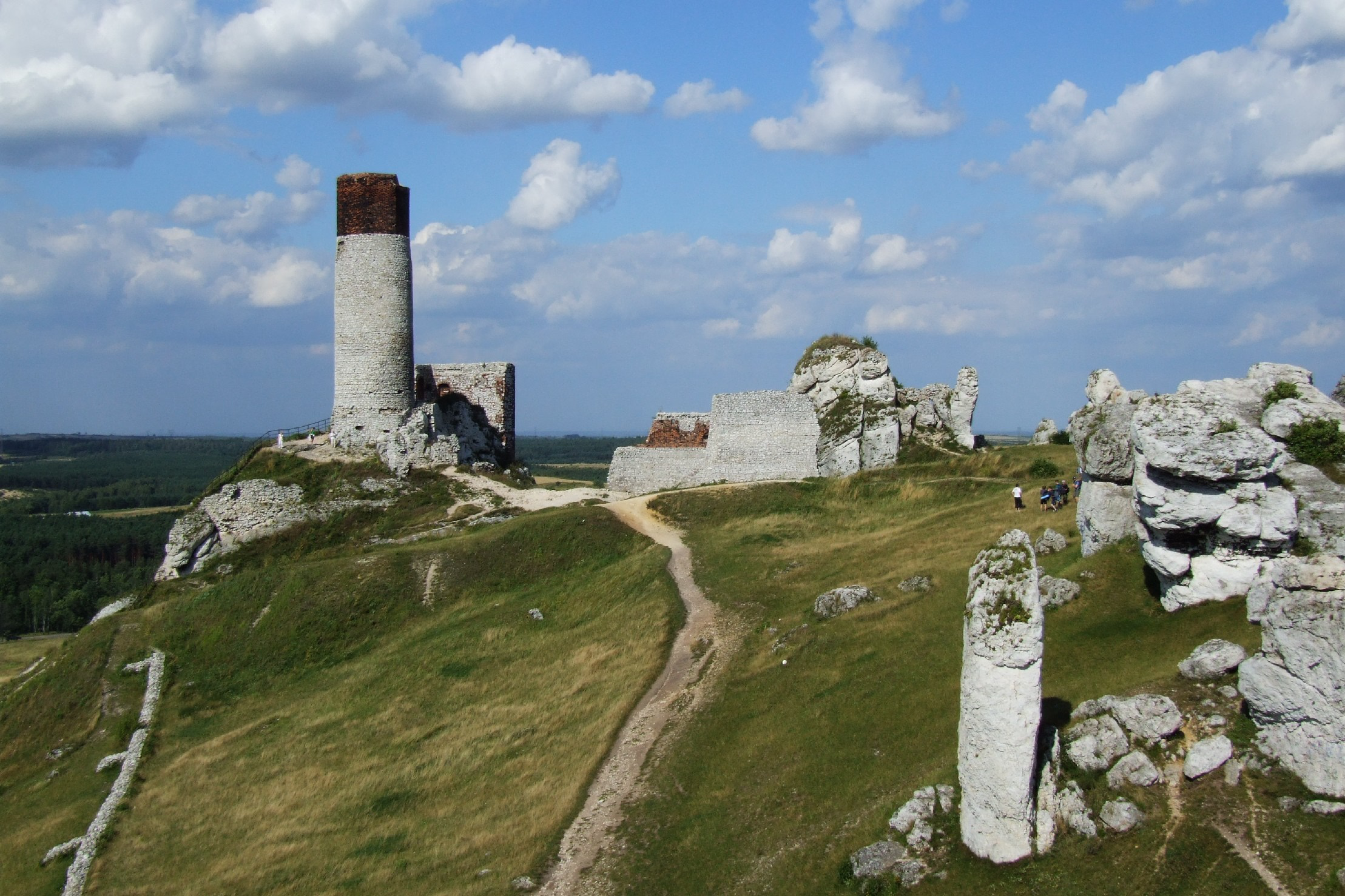
Olsztyn Castle
Olsztyn, Poland
Olsztyn Castle (Polish: Zamek w Olsztynie) – castle ruins located in the Olsztyn, Silesian Voivodeship, Kraków-Częstochowa Upland, lying on the Trail of the Eagles' Nests – formerly protecting the southern border of the Kingdom of Poland. The ruins of the 14th-century castle are one of the biggest attractions of the area.
- Category
- Forgotten History
- Location
- Olsztyn, Poland
- Coordinates
- 50.74970, 19.27410
- How to get there
- Google MapsApple MapsOpenStreetMap
- Wikidata
- Q9386695
What is Olsztyn Castle?
Olsztyn Castle is a Forgotten History place on VeroMaps. Other places close by: quarries in Choroń, Strażnica Suliszowice, Złoty Potok Palace, Ostrężnik Castle.
Where is Olsztyn Castle?
Olsztyn Castle is in Olsztyn, Poland. Coordinates: 50.74970, 19.27410.
How do I get to Olsztyn Castle?
Olsztyn Castle is at Olsztyn, Poland (50.74970, 19.27410). Enter these coordinates in Google Maps, Apple Maps or OpenStreetMap for walking, cycling or driving directions.