Photo corners
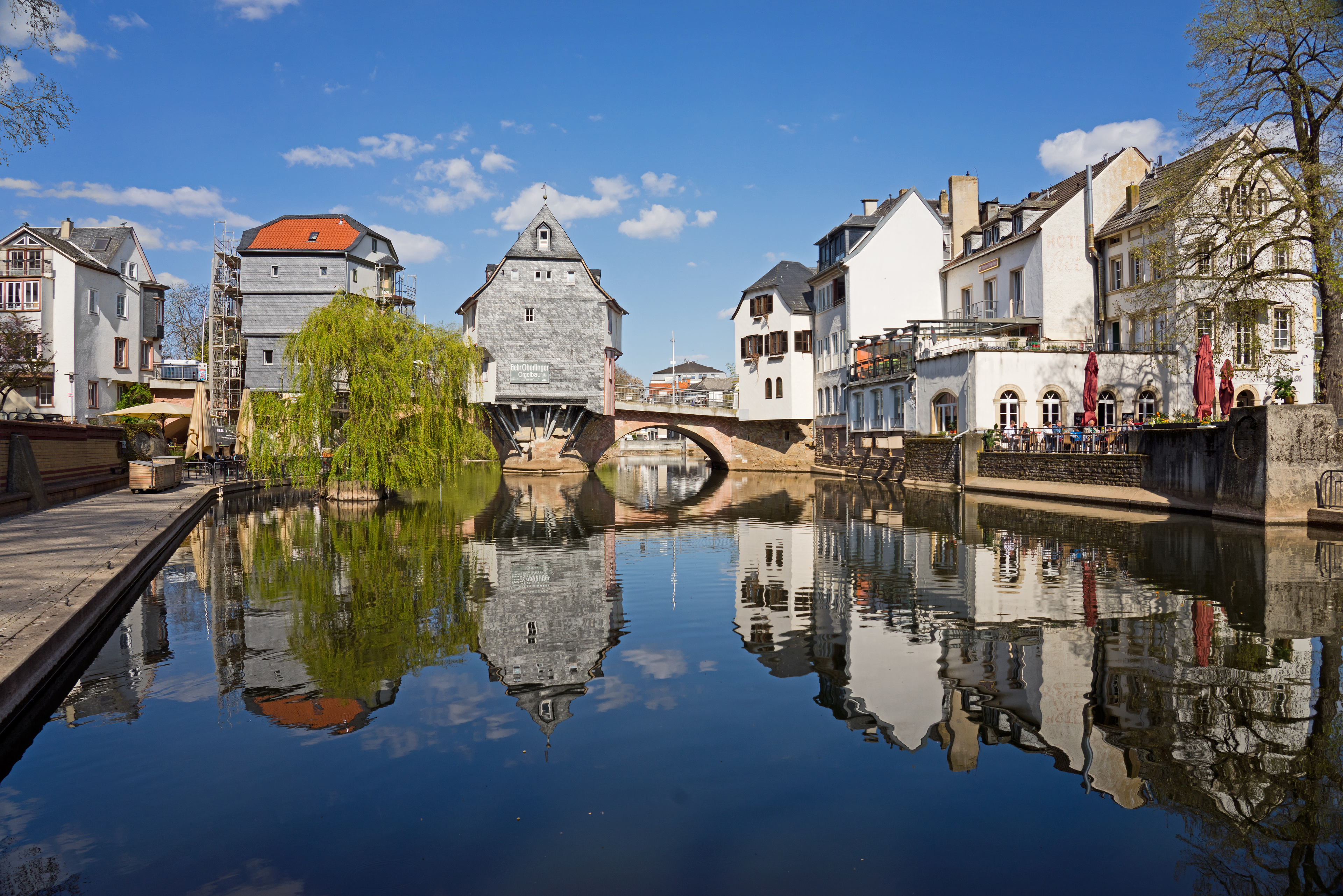
Old Nahe Bridge
Bad Kreuznach, Germany
The Alte Nahebrücke (English: Old Nahe Bridge) is a medieval stone arch bridge in Bad Kreuznach, in western Germany, dating from around 1300, that originally spanned the Nahe river and a neighbouring canal called the Mühlenteich (English: mill pond). Only the section spanning the canal remains intact.
- Category
- Photo Spots
- Location
- Bad Kreuznach, Germany
- Coordinates
- 49.84470, 7.85778
- How to get there
- Google MapsApple MapsOpenStreetMap
- Wikidata
- Q436029
What is Old Nahe Bridge?
Old Nahe Bridge is a Photo Spots place on VeroMaps. Other places close by: Wilhelmskirche, Fernmeldeturm Bad Kreuznach, Affenstein, Gutenburg Castle.
Where is Old Nahe Bridge?
Old Nahe Bridge is in Bad Kreuznach, Germany. Coordinates: 49.84470, 7.85778.
How do I get to Old Nahe Bridge?
Old Nahe Bridge is at Bad Kreuznach, Germany (49.84470, 7.85778). Enter these coordinates in Google Maps, Apple Maps or OpenStreetMap for walking, cycling or driving directions.