Urbex & Abandoned
Ogrodzieniec Castle
Zamkowa, Poland
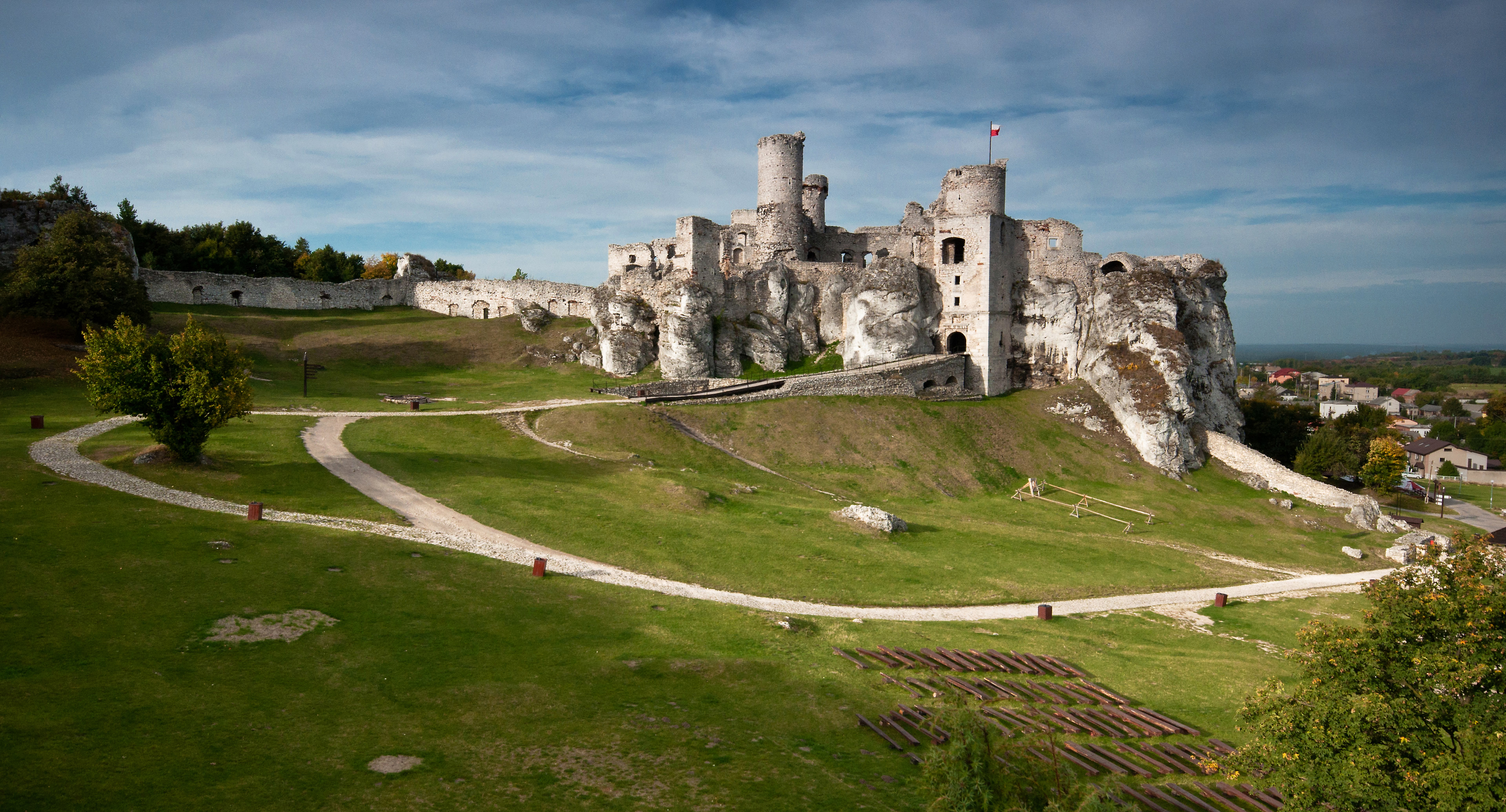
Ogrodzieniec Castle is a ruined medieval castle in Podzamcze, near Ogrodzieniec, the south-central region of Poland called Polish Jura. Originating in the 14th century the castle was rebuilt several times in its long history. It is situated on the top of 515.5-metre-high Castle Mountain (Polish: Góra Zamkowa), the highest hill of the Kraków-Częstochowa Upland. The ruins are open to visitors and are a part of Trail of the Eagles' Nests, a hiking trail that connects a number of well known castles in the region.
- Category
- Urbex & Abandoned
- Location
- Zamkowa, Poland
- Coordinates
- 50.45326, 19.55214
- How to get there
- Google MapsApple MapsOpenStreetMap
- Wikidata
- Q21155924
What is Ogrodzieniec Castle?
Ogrodzieniec Castle is a Urbex & Abandoned place on VeroMaps. Other places close by: Ryczów Castle, Smoleń Castle, Bydlin Castle, Bąkowiec Castle.
Where is Ogrodzieniec Castle?
Ogrodzieniec Castle is in Zamkowa, Poland. Coordinates: 50.45326, 19.55214.
How do I get to Ogrodzieniec Castle?
Ogrodzieniec Castle is at Zamkowa, Poland (50.45326, 19.55214). Enter these coordinates in Google Maps, Apple Maps or OpenStreetMap for walking, cycling or driving directions.