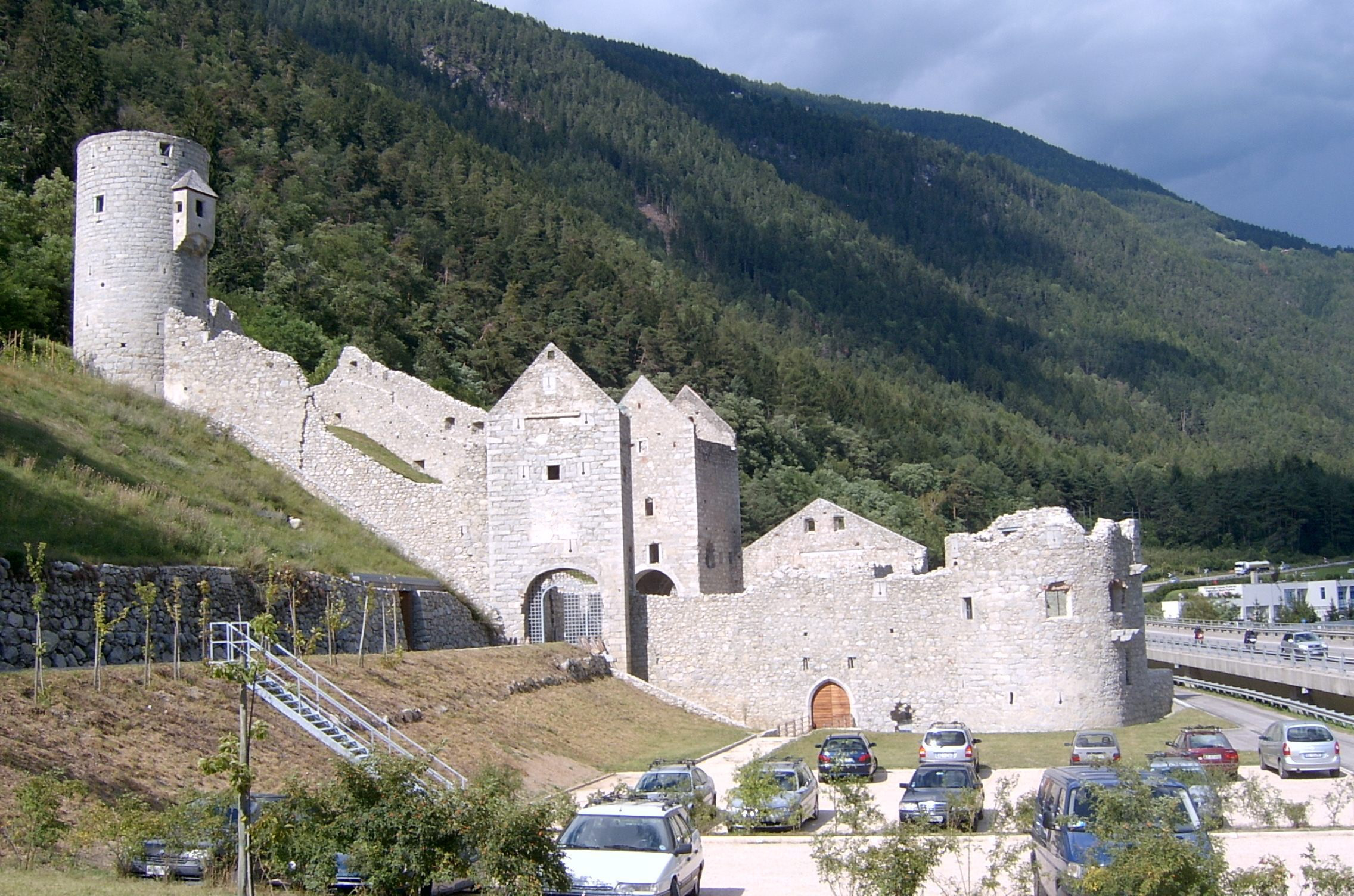
Urbex & Abandoned
Mühlbacher Klause
Mühlbach, Italy
Die Burgruine der Mühlbacher Klause (italienisch Chiusa di Rio di Pusteria) ist eine in etwa rechteckige Sperranlage mit einem befestigten Tor im Westen (Mühlbacher Tor) und im Osten (Vintler Tor) der Anlage.
- Category
- Urbex & Abandoned
- Location
- Mühlbach, Italy
- Coordinates
- 46.81193, 11.68475
- How to get there
- Google MapsApple MapsOpenStreetMap
- Wikidata
- Q1958353
What is Mühlbacher Klause?
Mühlbacher Klause is a Urbex & Abandoned place on VeroMaps. Other places close by: Rodenegg Castle, Saint Michael chapel, Saint Mary of Help chapel, Pfeffersberg Castle.
Where is Mühlbacher Klause?
Mühlbacher Klause is in Mühlbach, Italy. Coordinates: 46.81193, 11.68475.
How do I get to Mühlbacher Klause?
Mühlbacher Klause is at Mühlbach, Italy (46.81193, 11.68475). Enter these coordinates in Google Maps, Apple Maps or OpenStreetMap for walking, cycling or driving directions.