Photo corners
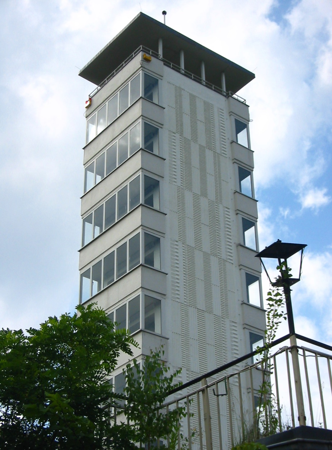
Müggel-Tower
Berlin, Germany
The Müggelturm (“Müggel Tower”) is a popular day-trip destination in Köpenick, in southeastern Berlin, Germany. It is located to the south of the Müggelsee lake in the Müggelberg hills atop the Kleiner Müggelberg (“Small Müggelhill”). Berlin's highest natural elevation is the nearby Großer Müggelberg at 115 m.
- Category
- Photo Spots
- Location
- Berlin, Germany
- Coordinates
- 52.41722, 13.62500
- How to get there
- Google MapsApple MapsOpenStreetMap
- Wikidata
- Q895969
What is Müggel-Tower?
Müggel-Tower is a Photo Spots place on VeroMaps. Other places close by: Rolands Eck, Köpenick Palace, Lange Brücke, Wasserturm Eichwalde.
Where is Müggel-Tower?
Müggel-Tower is in Berlin, Germany. Coordinates: 52.41722, 13.62500.
How do I get to Müggel-Tower?
Müggel-Tower is at Berlin, Germany (52.41722, 13.62500). Enter these coordinates in Google Maps, Apple Maps or OpenStreetMap for walking, cycling or driving directions.