Forgotten History
Montuenga Castle
Santa Maria de Huerta, Spain
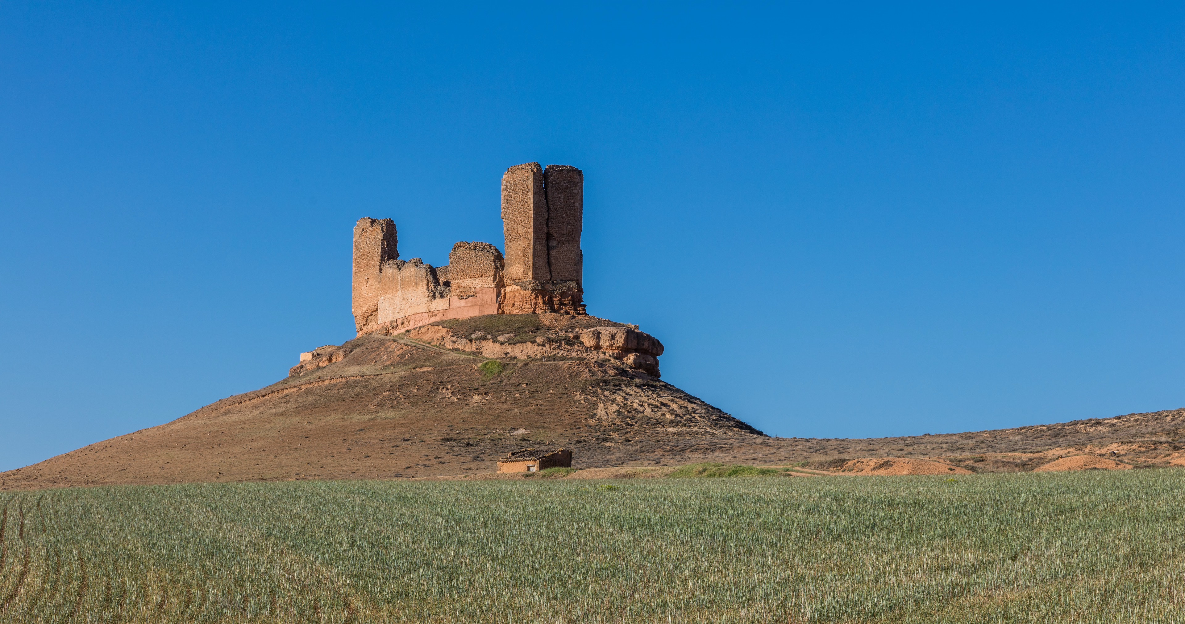
Montuenga Castle in the province of Soria, Spain forms part of the defensive line of the Jalón River set in a natural passage between the central plateau of Spain and the strategic basin of the Ebro. The castle is perched on a high hill, steep and long, from which it dominates the village of Montuenga de Soria. The remains of the building, two polygonal towers at each end, are joined by walls. Montuenga de Soria is located in the province of Soria, 105 kilometers from Madrid. The village is part of the municipality of Arcos de Jalon with the town about 5km away. The castle overlooks and so controlled access between Castile and Aragon. The area was subject to disputes, notable during the Castilian Civil War.
- Category
- Forgotten History
- Location
- Santa Maria de Huerta, Spain
- Coordinates
- 41.22530, -2.21090
- How to get there
- Google MapsApple MapsOpenStreetMap
- Wikidata
- Q5757466
What is Montuenga Castle?
Montuenga Castle is a Forgotten History place on VeroMaps. Other places close by: Castle of Somaén, Castle of La Raya, Castillo de Altamira, Yuba.
Where is Montuenga Castle?
Montuenga Castle is in Santa Maria de Huerta, Spain. Coordinates: 41.22530, -2.21090.
How do I get to Montuenga Castle?
Montuenga Castle is at Santa Maria de Huerta, Spain (41.22530, -2.21090). Enter these coordinates in Google Maps, Apple Maps or OpenStreetMap for walking, cycling or driving directions.