Forgotten History
Montmayeur Castle
Italy
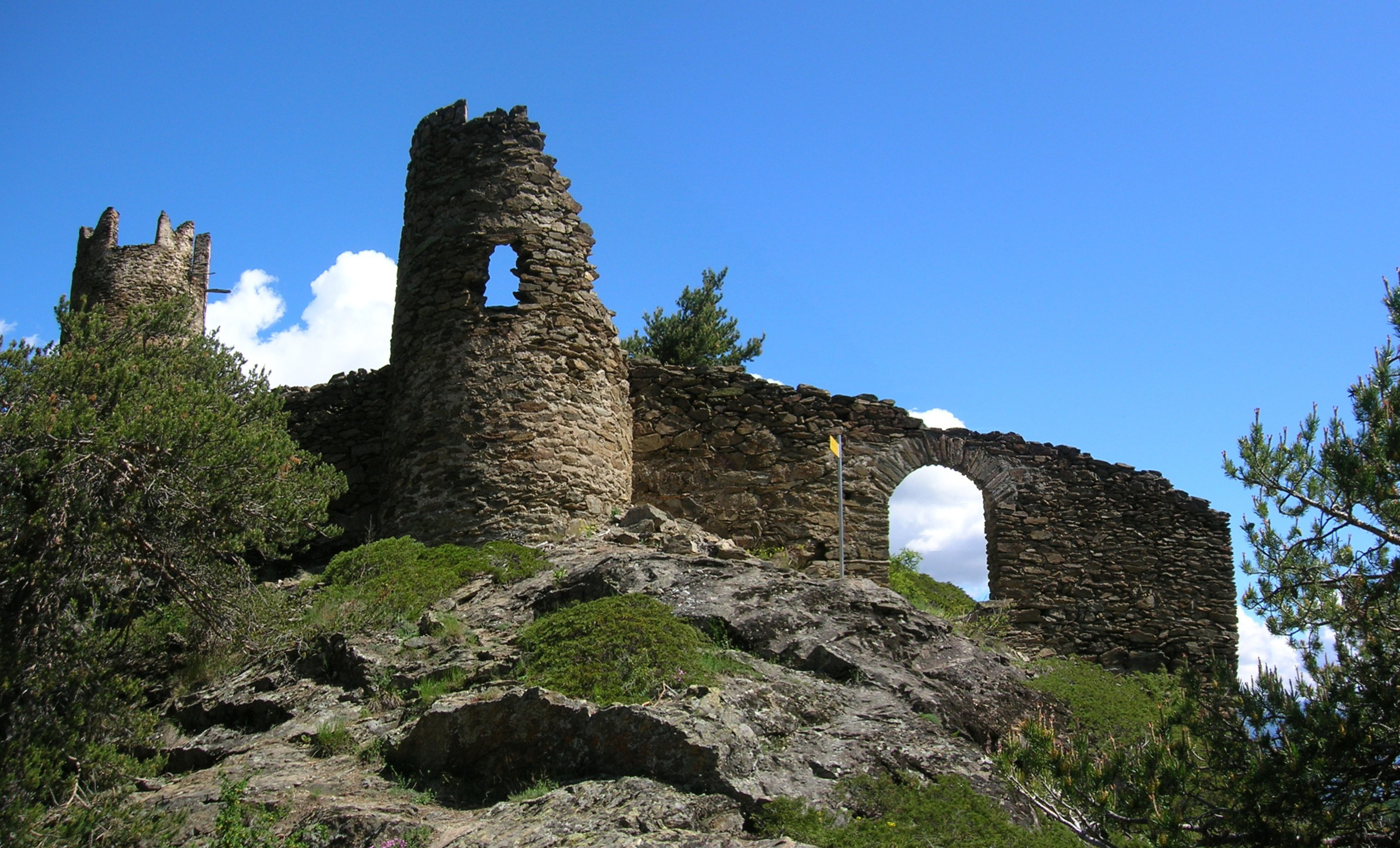
Das Castello di Montmayeur, auch Castello di Arvier genannt, (frz. Château de Montmayeur) ist die Ruine einer Höhenburg in der Gemeinde Arvier im Aostatal. Es liegt über der Einmündung des Valgrisenche-Tals auf der orographisch rechten Seite der Dora di Valgrisenche (it.
- Category
- Forgotten History
- Location
- Italy
- Address
- Loc. Grand-Haury - 11011 Arvier (AO)
- Coordinates
- 45.68843, 7.14040
- How to get there
- Google MapsApple MapsOpenStreetMap
- Wikidata
- Q3662473
What is Montmayeur Castle?
Montmayeur Castle is a Forgotten History place on VeroMaps, on Loc. Grand-Haury - 11011 Arvier (AO). Other places close by: Blonay Castle, Avise Castle, Fortified house Cré, La Mothe Castle.
Where is Montmayeur Castle?
Montmayeur Castle is in Italy. Coordinates: 45.68843, 7.14040.
How do I get to Montmayeur Castle?
Montmayeur Castle is at Loc. Grand-Haury - 11011 Arvier (AO), Italy (45.68843, 7.14040). Enter these coordinates in Google Maps, Apple Maps or OpenStreetMap for walking, cycling or driving directions.