Photo corners
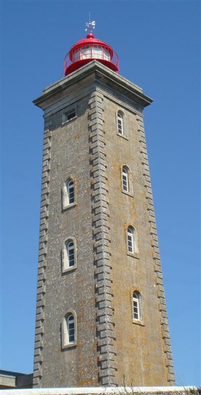
Montedor Lighthouse
Areosa, Portugal
The Montedor Lighthouse (Portuguese: Farol de Montedor) is located on the Atlantic Ocean on a promontory in the parish of Carreço in the municipality of Viana do Castelo in Portugal. It is the northernmost lighthouse in Portugal, situated 4 nautical miles (7.4 km; 4.6 mi) north of the mouth of the Lima River and 7 nautical miles (13 km; 8.1 mi) south of the mouth of the Minho River. It was opened on 20 March 1910.
- Category
- Photo Spots
- Location
- Areosa, Portugal
- Coordinates
- 41.75000, -8.87500
- How to get there
- Google MapsApple MapsOpenStreetMap
- Wikidata
- Q8960902
What is Montedor Lighthouse?
Montedor Lighthouse is a Photo Spots place on VeroMaps. Other places close by: Casa da Praça, Igreja de São Salvador das Almas, Menir de São Paio de Antas, Menir de São Bartolomeu do Mar.
Where is Montedor Lighthouse?
Montedor Lighthouse is in Areosa, Portugal. Coordinates: 41.75000, -8.87500.
How do I get to Montedor Lighthouse?
Montedor Lighthouse is at Areosa, Portugal (41.75000, -8.87500). Enter these coordinates in Google Maps, Apple Maps or OpenStreetMap for walking, cycling or driving directions.