Local Legends
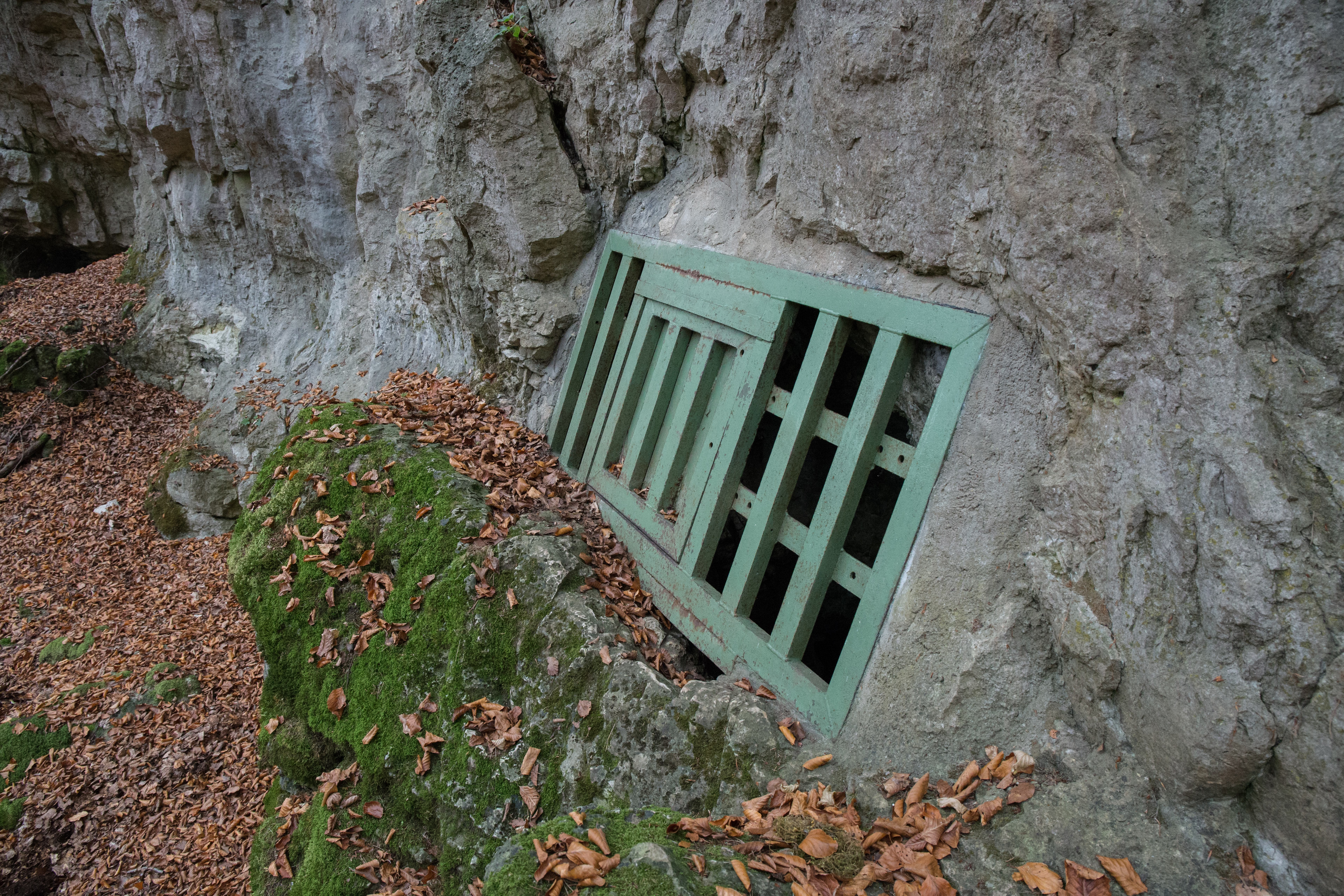
Mittlere Lupberghöhle
Edelsfeld, Germany
Die Mittlere Lupberghöhle, auch als „Lohberghöhle“ oder „Pumperloch“ bezeichnet, liegt auf der Fränkischen Alb bei Trondorf in der oberpfälzischen Gemeinde Neukirchen bei Sulzbach-Rosenberg im Landkreis Amberg-Sulzbach in Bayern. Sie trägt die Katasternummer A 169 des Höhlenkatasters Fränkische Alb.
- Category
- Local Legends
- Location
- Edelsfeld, Germany
- Coordinates
- 49.51928, 11.65992
- How to get there
- Google MapsApple MapsOpenStreetMap
- Wikidata
- Q60339804
What is Mittlere Lupberghöhle?
Mittlere Lupberghöhle is a Local Legends place on VeroMaps. Other places close by: Schloss Neidstein, Burg Sulzbach, Burgruine Lichtenegg, Höhlenruine von Hunas.
Where is Mittlere Lupberghöhle?
Mittlere Lupberghöhle is in Edelsfeld, Germany. Coordinates: 49.51928, 11.65992.
How do I get to Mittlere Lupberghöhle?
Mittlere Lupberghöhle is at Edelsfeld, Germany (49.51928, 11.65992). Enter these coordinates in Google Maps, Apple Maps or OpenStreetMap for walking, cycling or driving directions.