Photo corners
Mercantour National Park
Sambuco, France
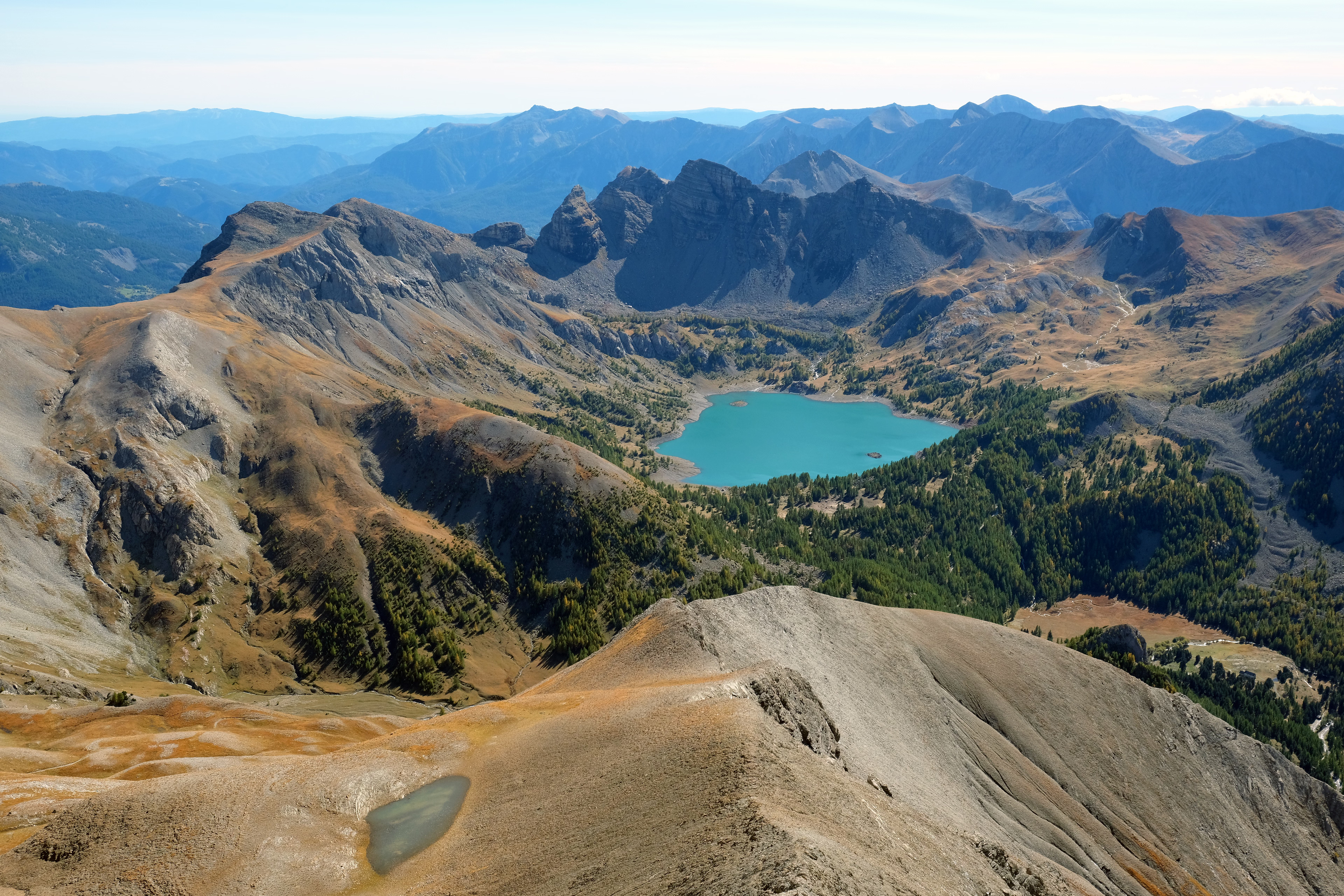
Mercantour National Park (French: Parc national du Mercantour) a French national park located in the Alpes-de-Haute-Provence and Alpes-Maritimes departments. Since it was created in 1979, the park has proven popular, with 800,000 visitors annually enjoying the 600 km (372 mi) of marked footpaths and visiting its villages.
- Category
- Photo Spots
- Location
- Sambuco, France
- Coordinates
- 44.16667, 7.08333
- How to get there
- Google MapsApple MapsOpenStreetMap
- Wikidata
- Q1535042
What is Mercantour National Park?
Mercantour National Park is a Photo Spots place on VeroMaps. Other places close by: Arboretum Marcel Kroenlein, Chapelle Sainte-Marguerite de Saint-Dalmas-le-Selvage, Chapelle Saint-Jean-Baptiste de la Tour, Chapelle Saint-Sébastien.
Where is Mercantour National Park?
Mercantour National Park is in Sambuco, France. Coordinates: 44.16667, 7.08333.
How do I get to Mercantour National Park?
Mercantour National Park is at Sambuco, France (44.16667, 7.08333). Enter these coordinates in Google Maps, Apple Maps or OpenStreetMap for walking, cycling or driving directions.