Local Legends
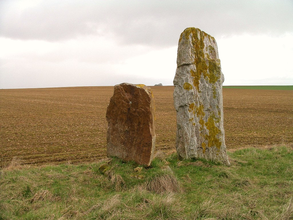
Menhirs des Longrais
Les Menhirs, France
Die Menhire von Longrais (auch Menhirs des Langrais oder Menhirs la Brêche au Diable genannt) stehen auf dem Plateau östlich des Mont-Joly (mit der „Brèche au Diable“ – deutsch „Teufelsbresche“) südöstlich von Soumont-Saint-Quentin bei Falaise im Département Calvados in der Normandie in Frankreich.
- Category
- Local Legends
- Location
- Les Menhirs, France
- Coordinates
- 48.96830, -0.20969
- How to get there
- Google MapsApple MapsOpenStreetMap
- Wikidata
- Q3305980
What is Menhirs des Longrais?
Menhirs des Longrais is a Local Legends place on VeroMaps. Other places close by: Pierre du Pot, city walls of Falaise, Pierre de la Hauberie, Château de Falaise.
Where is Menhirs des Longrais?
Menhirs des Longrais is in Les Menhirs, France. Coordinates: 48.96830, -0.20969.
How do I get to Menhirs des Longrais?
Menhirs des Longrais is at Les Menhirs, France (48.96830, -0.20969). Enter these coordinates in Google Maps, Apple Maps or OpenStreetMap for walking, cycling or driving directions.