Local Legends
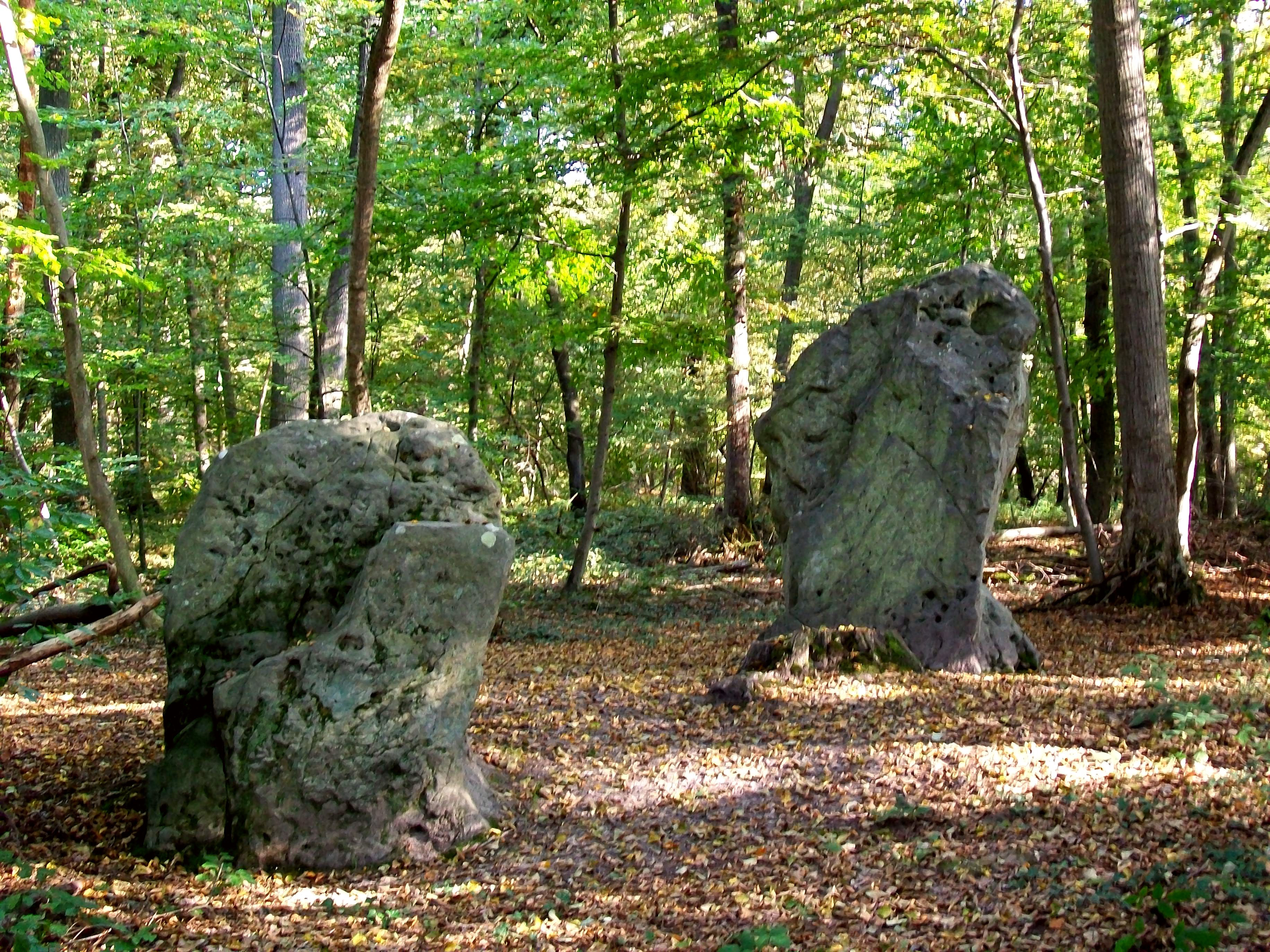
Menhirs des Indrolles
Fleurines, France
Die Menhire des Indrolles (auch Alignement de Senlis genannt) sind zwei Menhire als Rest einer Steinreihe, die sich im Forêt d’Halatte (Wald) nördlich von Senlis im Département Oise in Frankreich befinden. Die Menhire haben Höhen von 2,3 m und 1,4 m, Breiten von 1,5 und 1,15 m und Dicken von 0,8 und 0,65 m.
- Category
- Local Legends
- Location
- Fleurines, France
- Coordinates
- 49.23450, 2.58390
- How to get there
- Google MapsApple MapsOpenStreetMap
- Wikidata
- Q3305981
What is Menhirs des Indrolles?
Menhirs des Indrolles is a Local Legends place on VeroMaps. Other places close by: Demoiselle de Rhuis, Castle of Ermenonville, Fontaine aux Moines, Chapelle des Lardières.
Where is Menhirs des Indrolles?
Menhirs des Indrolles is in Fleurines, France. Coordinates: 49.23450, 2.58390.
How do I get to Menhirs des Indrolles?
Menhirs des Indrolles is at Fleurines, France (49.23450, 2.58390). Enter these coordinates in Google Maps, Apple Maps or OpenStreetMap for walking, cycling or driving directions.