Local Legends
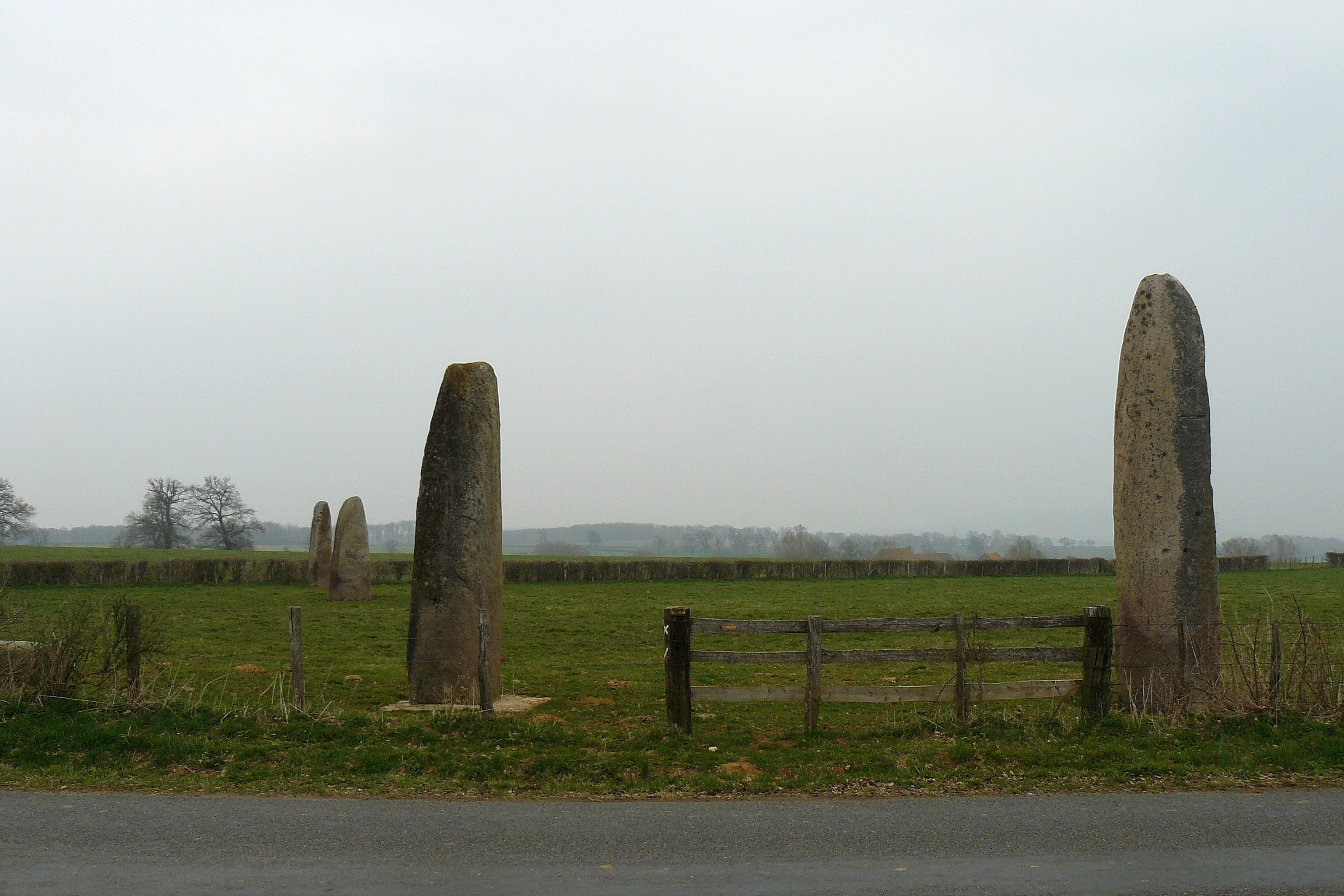
Menhirs d'Époigny
Couches, France
Die Steinreihe von Couches (französisch Alignement de Couches oder Menhire de Époigny genannt) liegt südlich der Straße D 978, nordwestlich von Couches und südwestlich von Beaune im Département Saône-et-Loire in Frankreich. Das Alignement ist die größte Steinanordnung in Ostfrankreich.
- Category
- Local Legends
- Location
- Couches, France
- Coordinates
- 46.87640, 4.53448
- How to get there
- Google MapsApple MapsOpenStreetMap
- Wikidata
- Q3305966
What is Menhirs d'Époigny?
Menhirs d'Époigny is a Local Legends place on VeroMaps. Other places close by: Château de Couches, Château de Brandon, Tuilerie Perrusson-Desfontaines, Château de Morlet.
Where is Menhirs d'Époigny?
Menhirs d'Époigny is in Couches, France. Coordinates: 46.87640, 4.53448.
How do I get to Menhirs d'Époigny?
Menhirs d'Époigny is at Couches, France (46.87640, 4.53448). Enter these coordinates in Google Maps, Apple Maps or OpenStreetMap for walking, cycling or driving directions.