Local Legends
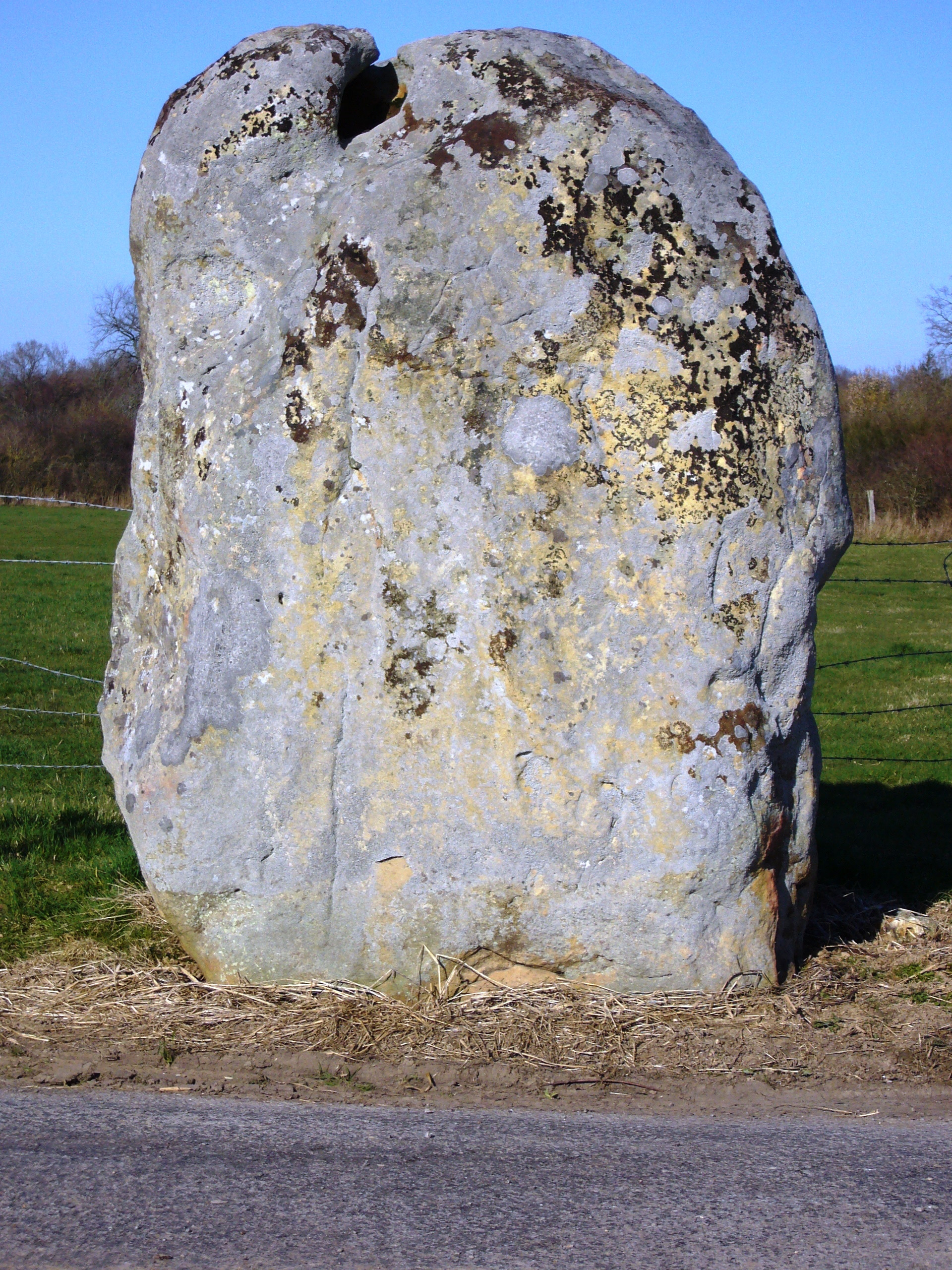
Menhir de la Longue-Pierre
Le Haut-Bois, France
Der Longue Pierre ist ein Menhir an der Rue du Tilleul beim Abzweig nach Tilleul-en-Ouche südwestlich von Landepéreuse im Département Eure in der Normandie in Frankreich. Der Longue Pierre ist ein oben gerundeter Sandsteinblock, der am oberen Rand ein Loch hat, das ihn nicht durchquert.
- Category
- Local Legends
- Location
- Le Haut-Bois, France
- Coordinates
- 48.99080, 0.61040
- How to get there
- Google MapsApple MapsOpenStreetMap
- Wikidata
- Q22950461
What is Menhir de la Longue-Pierre?
Menhir de la Longue-Pierre is a Local Legends place on VeroMaps. Other places close by: Chapelle Saint-Éloi de Fontaine-la-Soret, Arboretum d'Harcourt, Château de Conches-en-Ouche, Château du Champ de Bataille.
Where is Menhir de la Longue-Pierre?
Menhir de la Longue-Pierre is in Le Haut-Bois, France. Coordinates: 48.99080, 0.61040.
How do I get to Menhir de la Longue-Pierre?
Menhir de la Longue-Pierre is at Le Haut-Bois, France (48.99080, 0.61040). Enter these coordinates in Google Maps, Apple Maps or OpenStreetMap for walking, cycling or driving directions.