Photo corners
Mainbrücke Bergrheinfeld
Bergrheinfeld, Germany
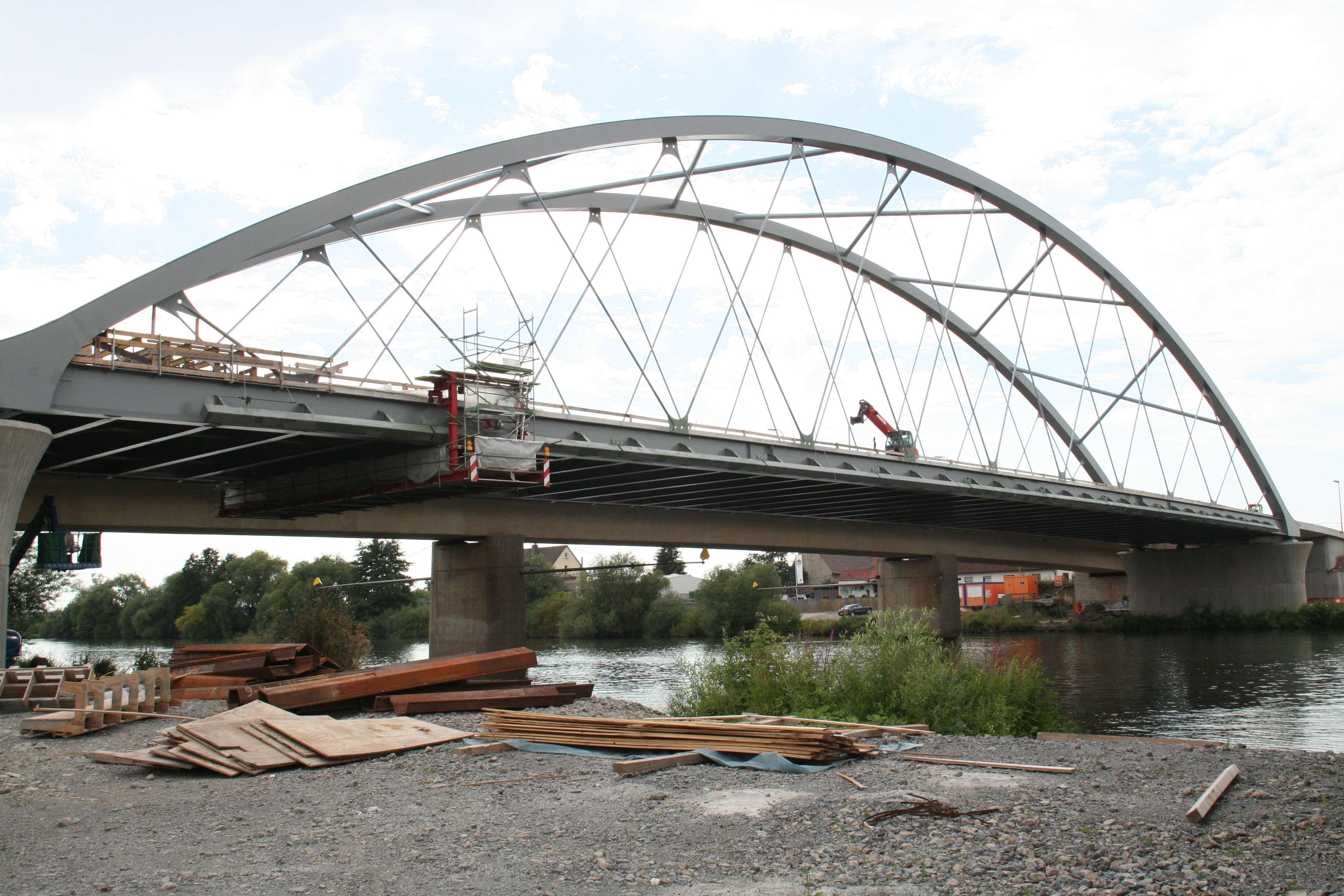
Die Mainbrücke Bergrheinfeld ist eine Straßenbrücke, die zwischen Bergrheinfeld und Grafenrheinfeld in Unterfranken bei Flusskilometer 326,92 den Main überspannt. Das Bauwerk besitzt zwei Fahrstreifen sowie beidseitig Geh- und oberstromseitig einen Radweg.
- Category
- Photo Spots
- Location
- Bergrheinfeld, Germany
- Coordinates
- 50.00500, 10.18610
- How to get there
- Google MapsApple MapsOpenStreetMap
- Wikidata
- Q1557420
What is Mainbrücke Bergrheinfeld?
Mainbrücke Bergrheinfeld is a Photo Spots place on VeroMaps. Other places close by: Burgruine, Aussichtsturm (on the site of a Imperial castle), Markgrafenburg Schweinfurt, Kirche.
Where is Mainbrücke Bergrheinfeld?
Mainbrücke Bergrheinfeld is in Bergrheinfeld, Germany. Coordinates: 50.00500, 10.18610.
How do I get to Mainbrücke Bergrheinfeld?
Mainbrücke Bergrheinfeld is at Bergrheinfeld, Germany (50.00500, 10.18610). Enter these coordinates in Google Maps, Apple Maps or OpenStreetMap for walking, cycling or driving directions.