Urbex & Abandoned
Małobór
Gmina Rymań, Poland
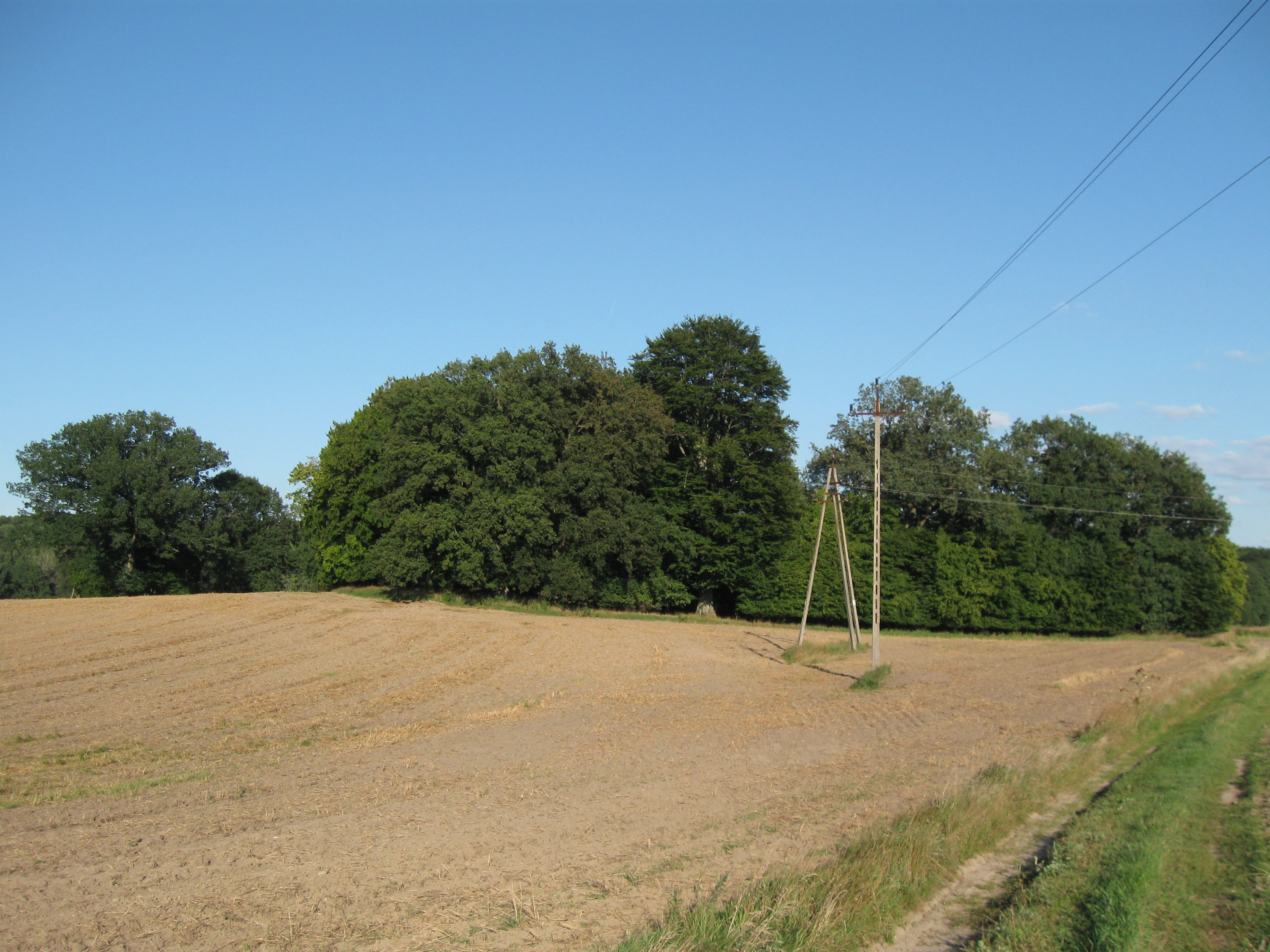
Małobór [maˈwɔbur] (German: Waldhaus) is a settlement in the administrative district of Gmina Rymań, within Kołobrzeg County, West Pomeranian Voivodeship, in north-western Poland. It lies approximately 3 km (2 mi) north-west of Rymań, 24 km (15 mi) south of Kołobrzeg, and 86 km (53 mi) north-east of the regional capital Szczecin.
- Category
- Urbex & Abandoned
- Location
- Gmina Rymań, Poland
- Coordinates
- 53.96083, 15.50750
- How to get there
- Google MapsApple MapsOpenStreetMap
- Wikidata
- Q6799426
What is Małobór?
Małobór is a Urbex & Abandoned place on VeroMaps. Other places close by: palace in Rymań, Burg Kölpin, Palace in Dargosław, palace in Mołtowo.
Where is Małobór?
Małobór is in Gmina Rymań, Poland. Coordinates: 53.96083, 15.50750.
How do I get to Małobór?
Małobór is at Gmina Rymań, Poland (53.96083, 15.50750). Enter these coordinates in Google Maps, Apple Maps or OpenStreetMap for walking, cycling or driving directions.