Photo corners
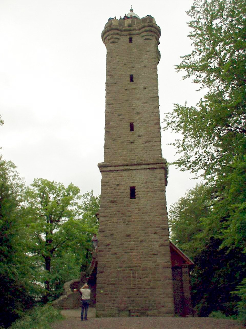
Luitpold tower
Leimen, Germany
The Luitpold Tower (German: Luitpoldturm or Luitpoldsturm) was erected in 1909 on the summit of one of the highest hills in the Palatine Forest, the 610-metre-high Weißenberg as an observation tower. It is made of bunter sandstone.
- Category
- Photo Spots
- Location
- Leimen, Germany
- Coordinates
- 49.25261, 7.82564
- How to get there
- Google MapsApple MapsOpenStreetMap
- Wikidata
- Q22831
What is Luitpold tower?
Luitpold tower is a Photo Spots place on VeroMaps. Other places close by: Eschkopf tower, Backelstein, Schindhübel Tower, Heidelsburg.
Where is Luitpold tower?
Luitpold tower is in Leimen, Germany. Coordinates: 49.25261, 7.82564.
How do I get to Luitpold tower?
Luitpold tower is at Leimen, Germany (49.25261, 7.82564). Enter these coordinates in Google Maps, Apple Maps or OpenStreetMap for walking, cycling or driving directions.