Photo corners
Lower Wood
Cambridge, United Kingdom
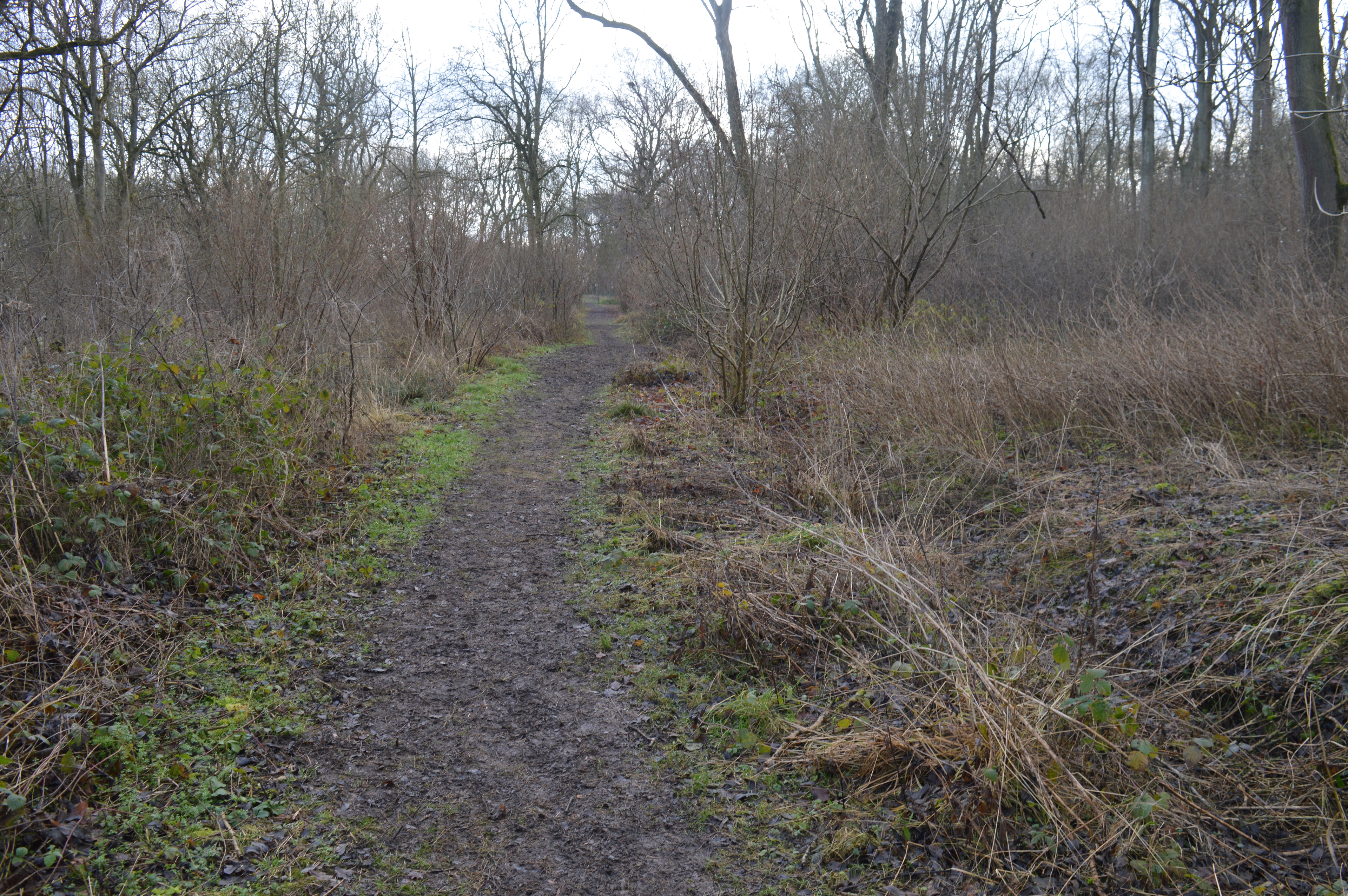
Lower Wood is a 9 hectare nature reserve east of Weston Colville in Cambridgeshire. It is managed by the Wildlife Trust for Bedfordshire, Cambridgeshire and Northamptonshire. This ancient woodland has a variety of flora such as oxlips and early-purple orchids in the spring and water avens and germander speedwells in the summer. Muntjac and roe deer use the site and birds include goldcrests, great spotted woodpeckers and tawny owls. There is access from a footpath along the eastern boundary.
- Category
- Photo Spots
- Location
- Cambridge, United Kingdom
- Coordinates
- 52.15000, 0.37588
- How to get there
- Google MapsApple MapsOpenStreetMap
- Wikidata
- Q6693912
What is Lower Wood?
Lower Wood is a Photo Spots place on VeroMaps. Other places close by: Bartlow Hills, Fulbourn Fen, Anglesey Abbey, Beechwoods nature reserve.
Where is Lower Wood?
Lower Wood is in Cambridge, United Kingdom. Coordinates: 52.15000, 0.37588.
How do I get to Lower Wood?
Lower Wood is at Cambridge, United Kingdom (52.15000, 0.37588). Enter these coordinates in Google Maps, Apple Maps or OpenStreetMap for walking, cycling or driving directions.