Urbex & Abandoned
Löwenburg and Philippsburg
Monreal, Germany
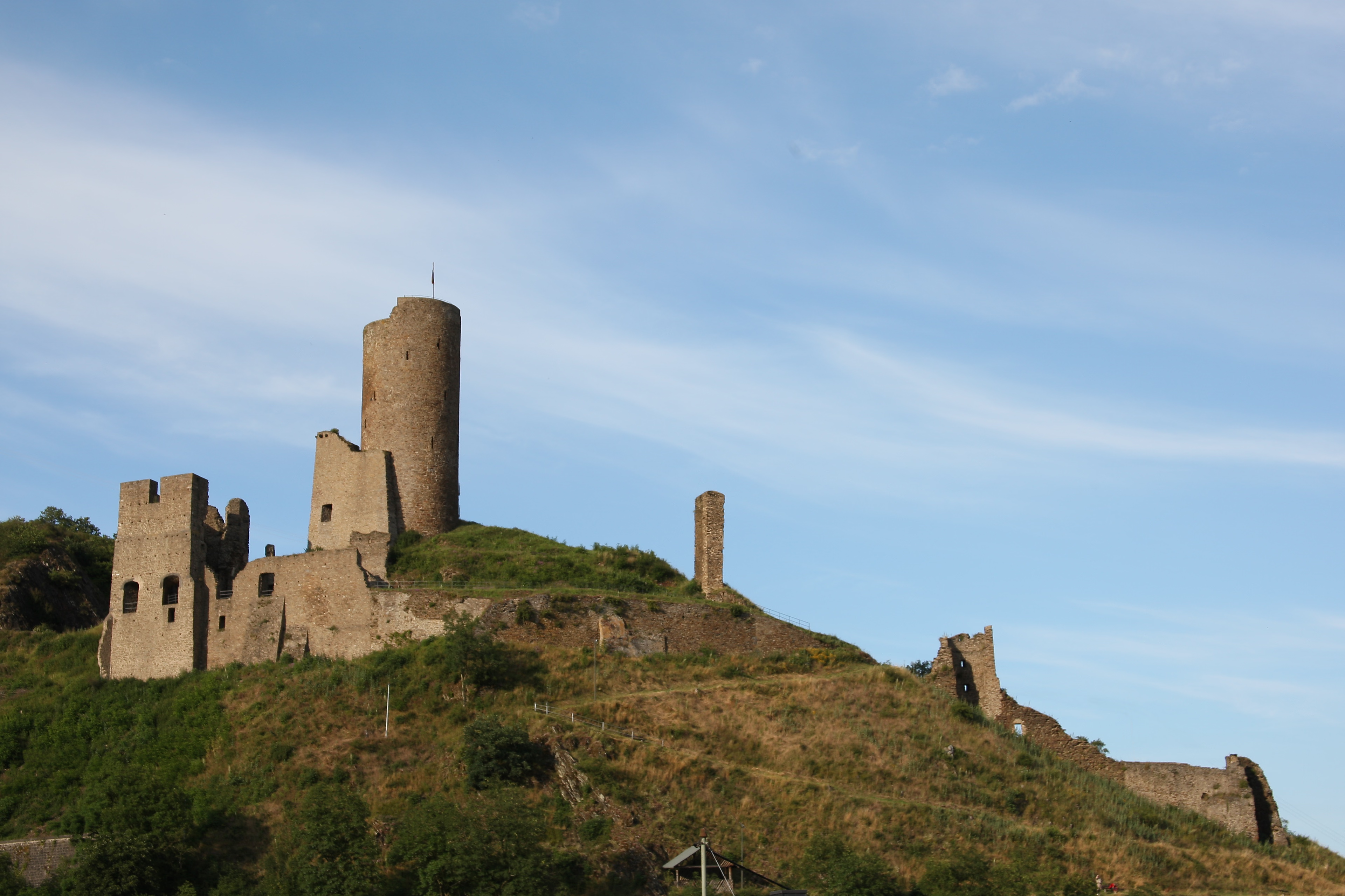
On a hill spur above the Eifel village of Monreal in Germany's Elzbach valley, at a height of 350 m above sea level (NHN), stand two neighbouring ruined hill castles: the Löwenburg, also called Monreal Castle (German: Burg Monreal), and the Philippsburg. The latter is also known locally as das Rech (the Deer).
- Category
- Urbex & Abandoned
- Location
- Monreal, Germany
- Coordinates
- 50.30040, 7.16034
- How to get there
- Google MapsApple MapsOpenStreetMap
- Wikidata
- Q1879881
What is Löwenburg and Philippsburg?
Löwenburg and Philippsburg is a Urbex & Abandoned place on VeroMaps. Other places close by: Bürresheim Castle, Ettringer Lay, Hochsimmer Tower, Virneburg Castle.
Where is Löwenburg and Philippsburg?
Löwenburg and Philippsburg is in Monreal, Germany. Coordinates: 50.30040, 7.16034.
How do I get to Löwenburg and Philippsburg?
Löwenburg and Philippsburg is at Monreal, Germany (50.30040, 7.16034). Enter these coordinates in Google Maps, Apple Maps or OpenStreetMap for walking, cycling or driving directions.