Forgotten History
Los Millares
Santa Fe de Mondújar, Spain
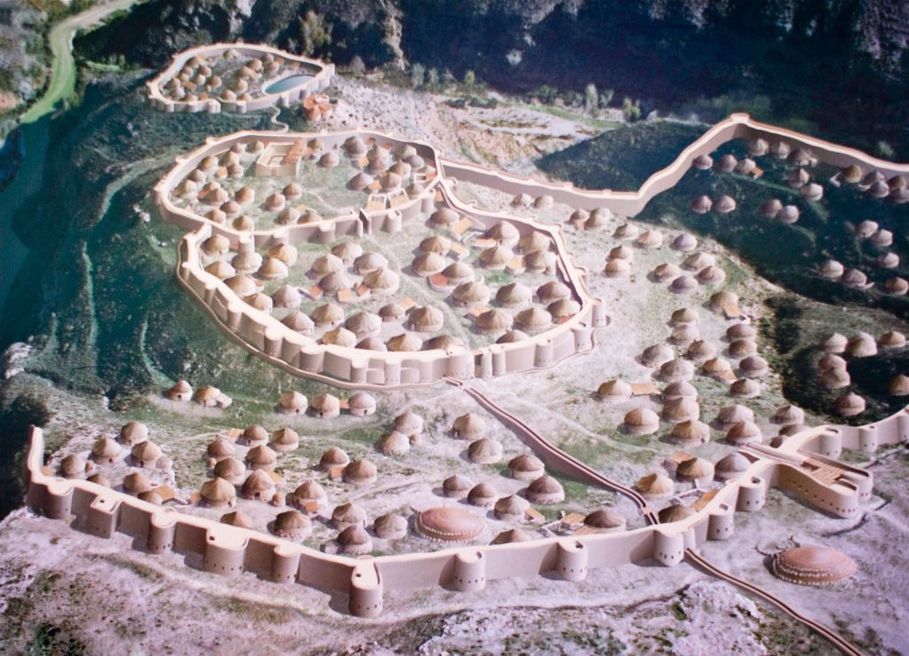
Los Millares is a Chalcolithic occupation site 17 km north of Almería, in the municipality of Santa Fe de Mondújar, Andalucía, Spain. The complex was in use from the fourth millennium BC (c. 3025 BC) to the end of the third millennium BC (c. 2000 BC) and probably supported around 1,000 people. It was discovered in 1891 during the construction of a railway. It was first excavated by Luis Siret in the succeeding years. Excavations are ongoing. Los Millares is the type site of the Chalcolithic Millaran culture.
- Category
- Forgotten History
- Location
- Santa Fe de Mondújar, Spain
- Coordinates
- 36.96261, -2.52164
- How to get there
- Google MapsApple MapsOpenStreetMap
- Wikidata
- Q1579766
What is Los Millares?
Los Millares is a Forgotten History place on VeroMaps. Other places close by: El Chuche, Fuente Santa, Peñón de la Reina, El Cortijo Alto.
Where is Los Millares?
Los Millares is in Santa Fe de Mondújar, Spain. Coordinates: 36.96261, -2.52164.
How do I get to Los Millares?
Los Millares is at Santa Fe de Mondújar, Spain (36.96261, -2.52164). Enter these coordinates in Google Maps, Apple Maps or OpenStreetMap for walking, cycling or driving directions.