Forgotten History
Lordship of Myllendonk
Korschenbroich, Germany
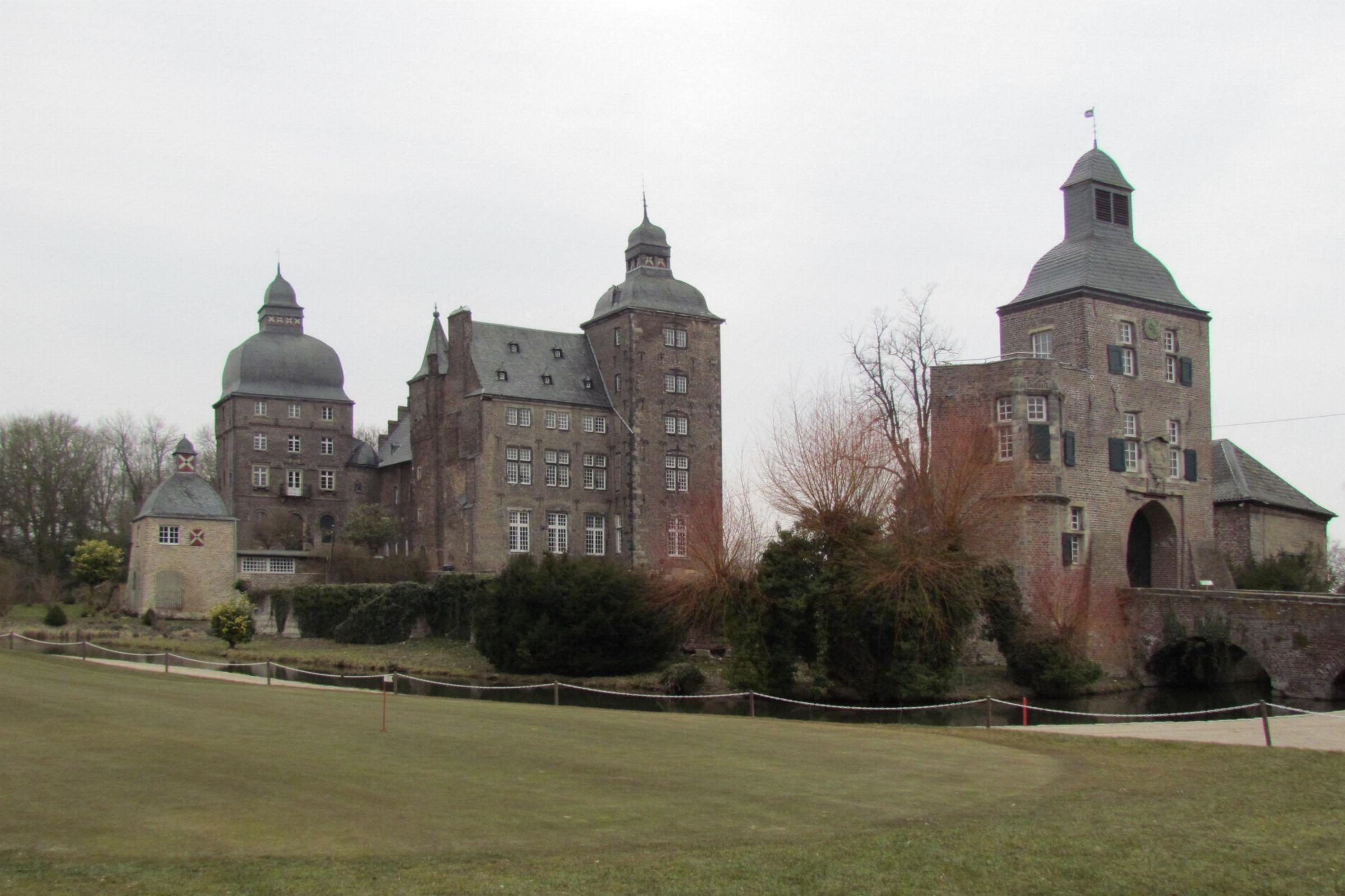
Myllendonk was an imperial lordship belonging to the Lower Rhenish-Westphalian Circle within the Holy Roman Empire. The area of the current municipality of Korschenbroich largely corresponds to the former lordship. Today's palace likely originates from a motte-and-bailey castle dating from the 10th to 12th century. The noble lords of Myllendonk are first mentioned in 1166.
- Category
- Forgotten History
- Location
- Korschenbroich, Germany
- Coordinates
- 51.20960, 6.49014
- How to get there
- Google MapsApple MapsOpenStreetMap
- Wikidata
- Q876407
What is Lordship of Myllendonk?
Lordship of Myllendonk is a Forgotten History place on VeroMaps. Other places close by: An der Kreuzkapelle 1, Wegekapelle St. Matthias, Eickener Straße 163, Gasthaus St. Vith.
Where is Lordship of Myllendonk?
Lordship of Myllendonk is in Korschenbroich, Germany. Coordinates: 51.20960, 6.49014.
How do I get to Lordship of Myllendonk?
Lordship of Myllendonk is at Korschenbroich, Germany (51.20960, 6.49014). Enter these coordinates in Google Maps, Apple Maps or OpenStreetMap for walking, cycling or driving directions.