Urbex & Abandoned
Lochotín
Hradiště Military Area, Czech Republic
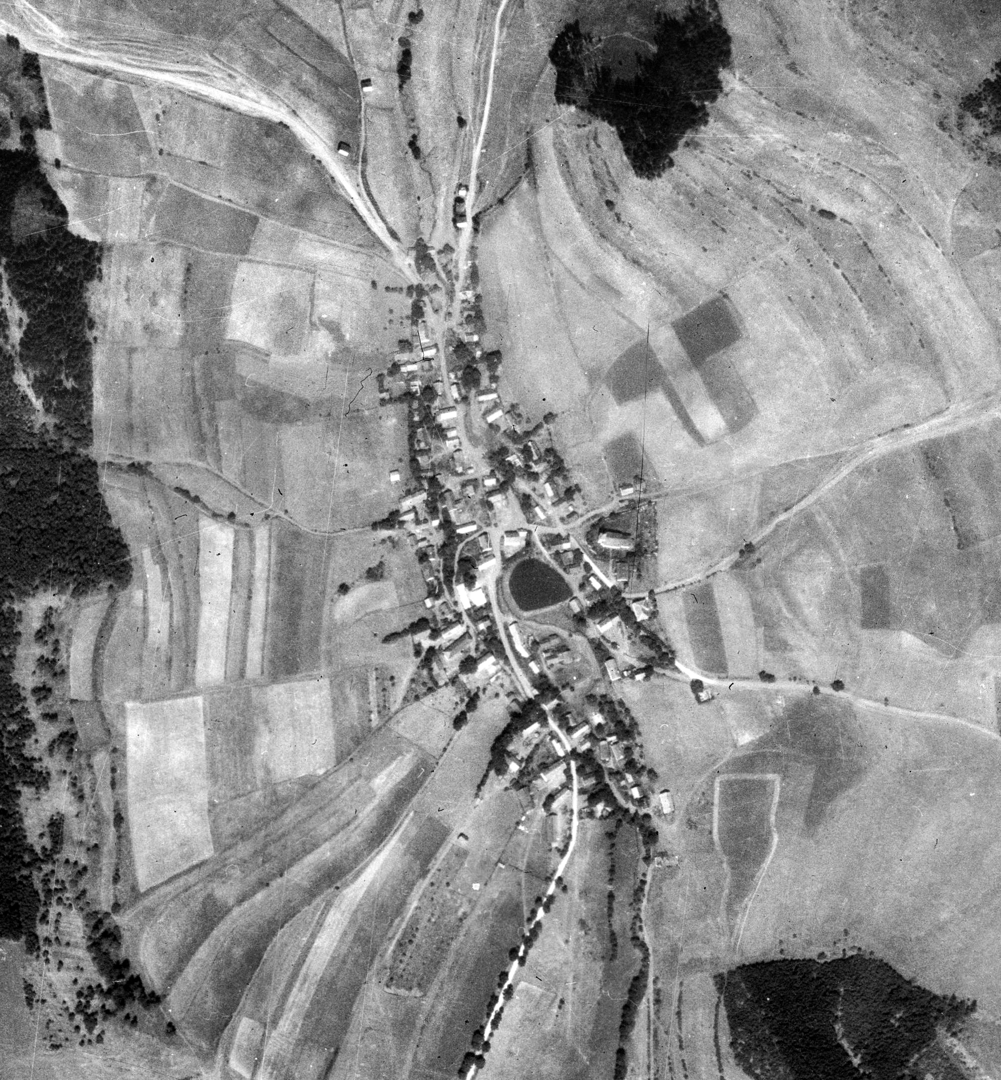
Lochotín (deutsch Lochotin) ist eine Wüstung auf dem Truppenübungsplatz Hradiště in Tschechien. Das erloschene Dorf liegt zehn Kilometer nordöstlich von Bochov (Buchau) im Okres Karlovy Vary; erhalten ist nur die verfallene Wallfahrtskirche Mariä Himmelfahrt mit den Resten des Friedhofes.
- Category
- Urbex & Abandoned
- Location
- Hradiště Military Area, Czech Republic
- Coordinates
- 50.19130, 13.17353
- How to get there
- Google MapsApple MapsOpenStreetMap
- Wikidata
- Q23720115
What is Lochotín?
Lochotín is a Urbex & Abandoned place on VeroMaps. Other places close by: Kopitschau, Gässing, Holeditz, Reschwitz.
Where is Lochotín?
Lochotín is in Hradiště Military Area, Czech Republic. Coordinates: 50.19130, 13.17353.
How do I get to Lochotín?
Lochotín is at Hradiště Military Area, Czech Republic (50.19130, 13.17353). Enter these coordinates in Google Maps, Apple Maps or OpenStreetMap for walking, cycling or driving directions.