Urbex & Abandoned
Ležáky
Dachov, Czech Republic
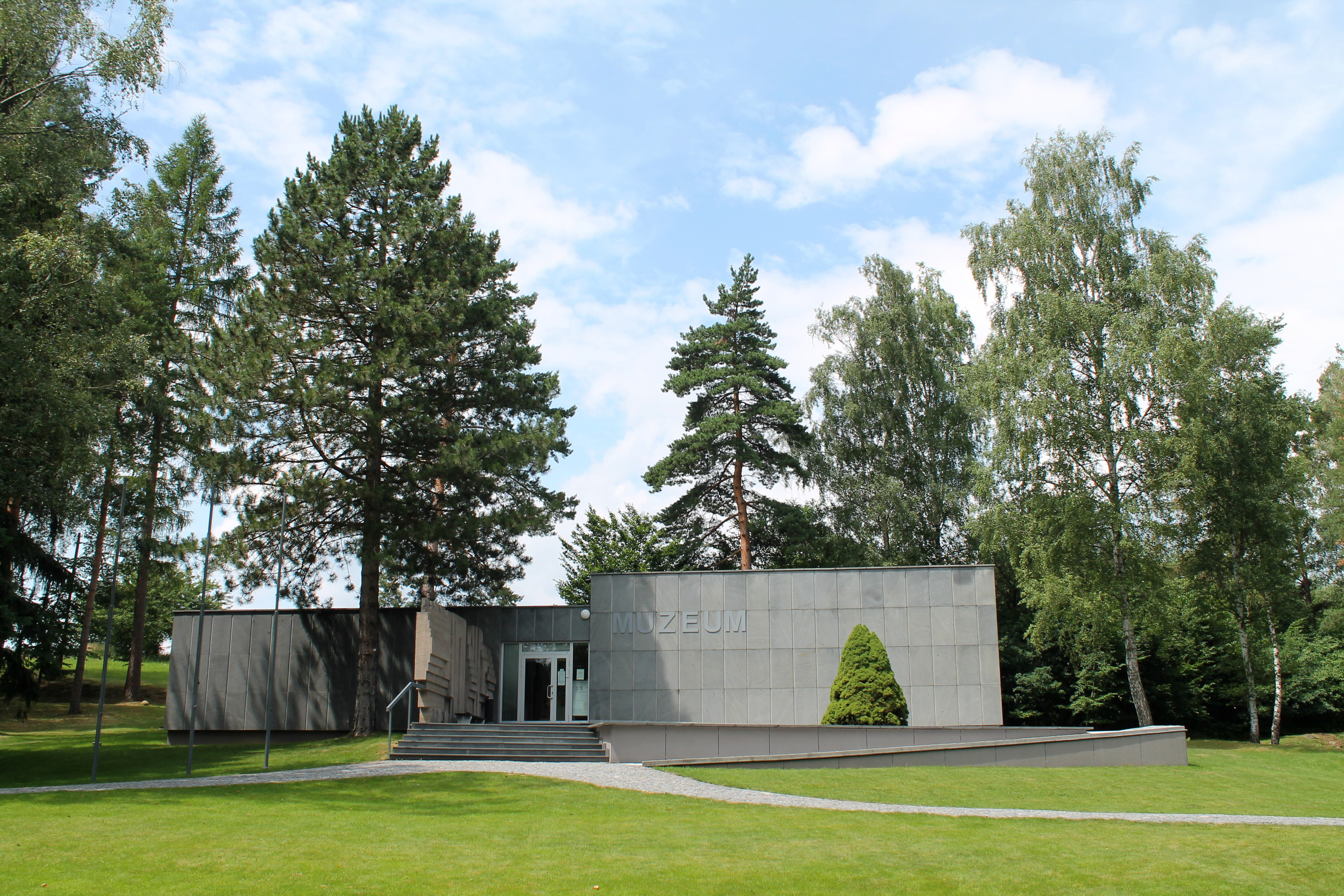
Ležáky (Czech pronunciation: [ˈlɛʒaːkɪ], German: Ležak, from 1939: Lezaky), in the Miřetice municipality, was a village in Czechoslovakia. During the German occupation of Czechoslovakia, it was razed by Nazi forces as reprisal for Reich Protector Reinhard Heydrich's assassination in late spring 1942.
- Category
- Urbex & Abandoned
- Location
- Dachov, Czech Republic
- Coordinates
- 49.83250, 15.90028
- How to get there
- Google MapsApple MapsOpenStreetMap
- Wikidata
- Q647287
What is Ležáky?
Ležáky is a Urbex & Abandoned place on VeroMaps. Other places close by: Lom Dubová, Žumberk Castle, Strádov, Hamerská hospoda.
Where is Ležáky?
Ležáky is in Dachov, Czech Republic. Coordinates: 49.83250, 15.90028.
How do I get to Ležáky?
Ležáky is at Dachov, Czech Republic (49.83250, 15.90028). Enter these coordinates in Google Maps, Apple Maps or OpenStreetMap for walking, cycling or driving directions.