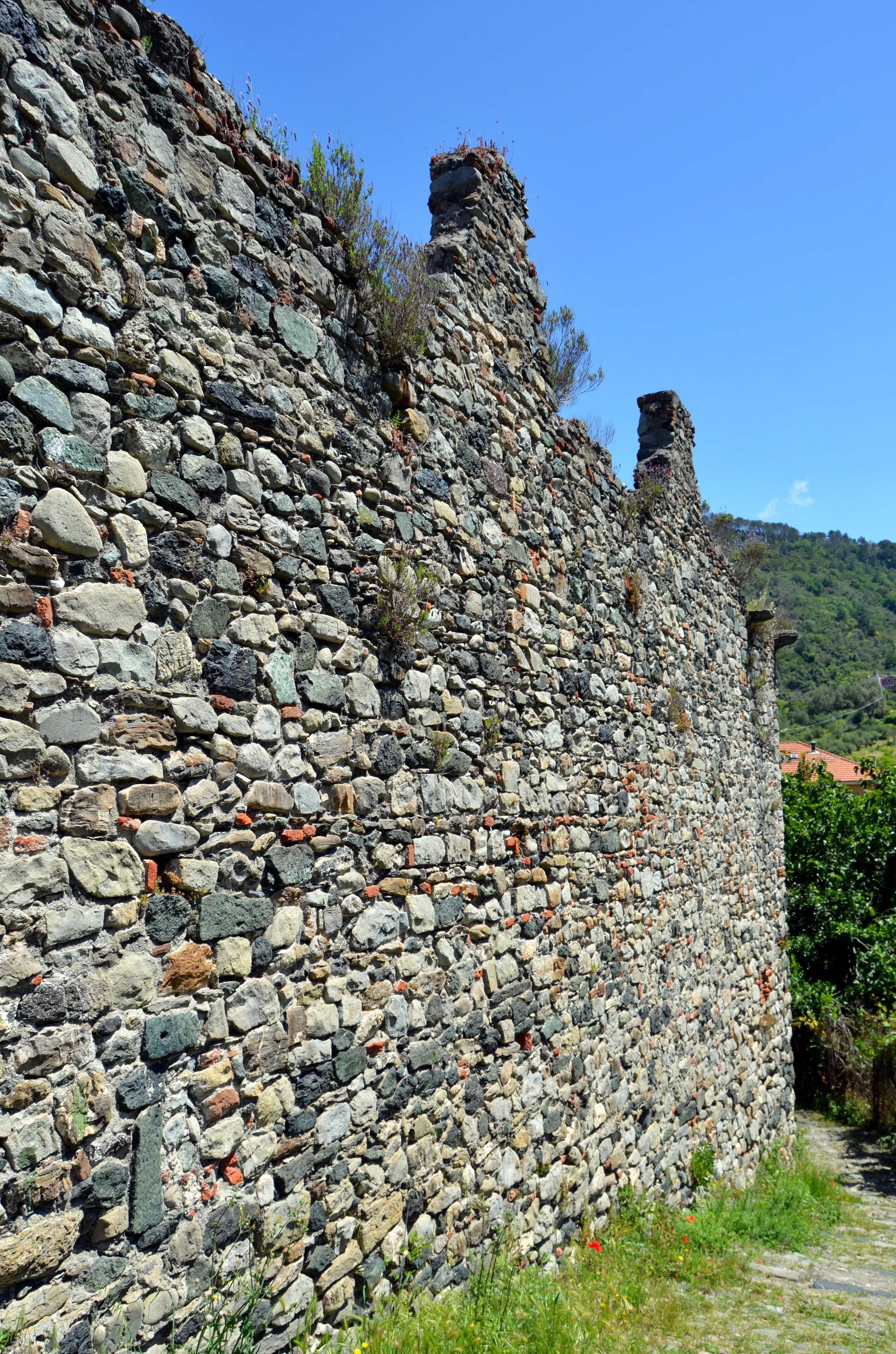
Forgotten History
Levanto city walls
Via dietro le Mura, Italy
Il borgo di Levanto, località della Riviera di levante in provincia della Spezia, era anticamente un importante scalo sulle rotte delle galee della Repubblica di Genova. Sorgeva al limite orientale del golfo omonimo, lungo una stretta insenatura che rientrava ai piedi dei rilievi circostanti per alcune centinaia di metri.
- Category
- Forgotten History
- Location
- Via dietro le Mura, Italy
- Coordinates
- 44.16991, 9.61204
- How to get there
- Google MapsApple MapsOpenStreetMap
- Wikidata
- Q3867273
What is Levanto city walls?
Levanto city walls is a Forgotten History place on VeroMaps. Other places close by: Castle of Levanto, Castle of Bonassola, hermitage of Sant'Antonio del Mesco, Castle of Riomaggiore.
Where is Levanto city walls?
Levanto city walls is in Via dietro le Mura, Italy. Coordinates: 44.16991, 9.61204.
How do I get to Levanto city walls?
Levanto city walls is at Via dietro le Mura, Italy (44.16991, 9.61204). Enter these coordinates in Google Maps, Apple Maps or OpenStreetMap for walking, cycling or driving directions.