Urbex & Abandoned
Laver
Älvsbyn Municipality, Sweden
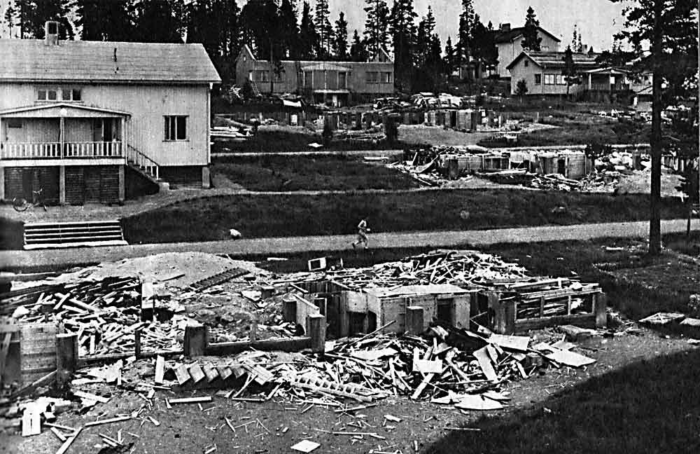
Laver is a ghost town located about 15 km southwest of Vidsel and 50 km west of Älvsbyn in Sweden which existed between 1936 and 1947. It was a mining community where copper was extracted. About 350 people lived there at most. The operations of the Laver mine ended on 4 November 1946.
- Category
- Urbex & Abandoned
- Location
- Älvsbyn Municipality, Sweden
- Coordinates
- 65.76667, 20.21667
- How to get there
- Google MapsApple MapsOpenStreetMap
- Wikidata
- Q6502568
What is Laver?
Laver is a Urbex & Abandoned place on VeroMaps. Other places close by: Muddus National Park, Aitik.
Where is Laver?
Laver is in Älvsbyn Municipality, Sweden. Coordinates: 65.76667, 20.21667.
How do I get to Laver?
Laver is at Älvsbyn Municipality, Sweden (65.76667, 20.21667). Enter these coordinates in Google Maps, Apple Maps or OpenStreetMap for walking, cycling or driving directions.