Local Legends
Laurel Caverns
Fayette County, United States
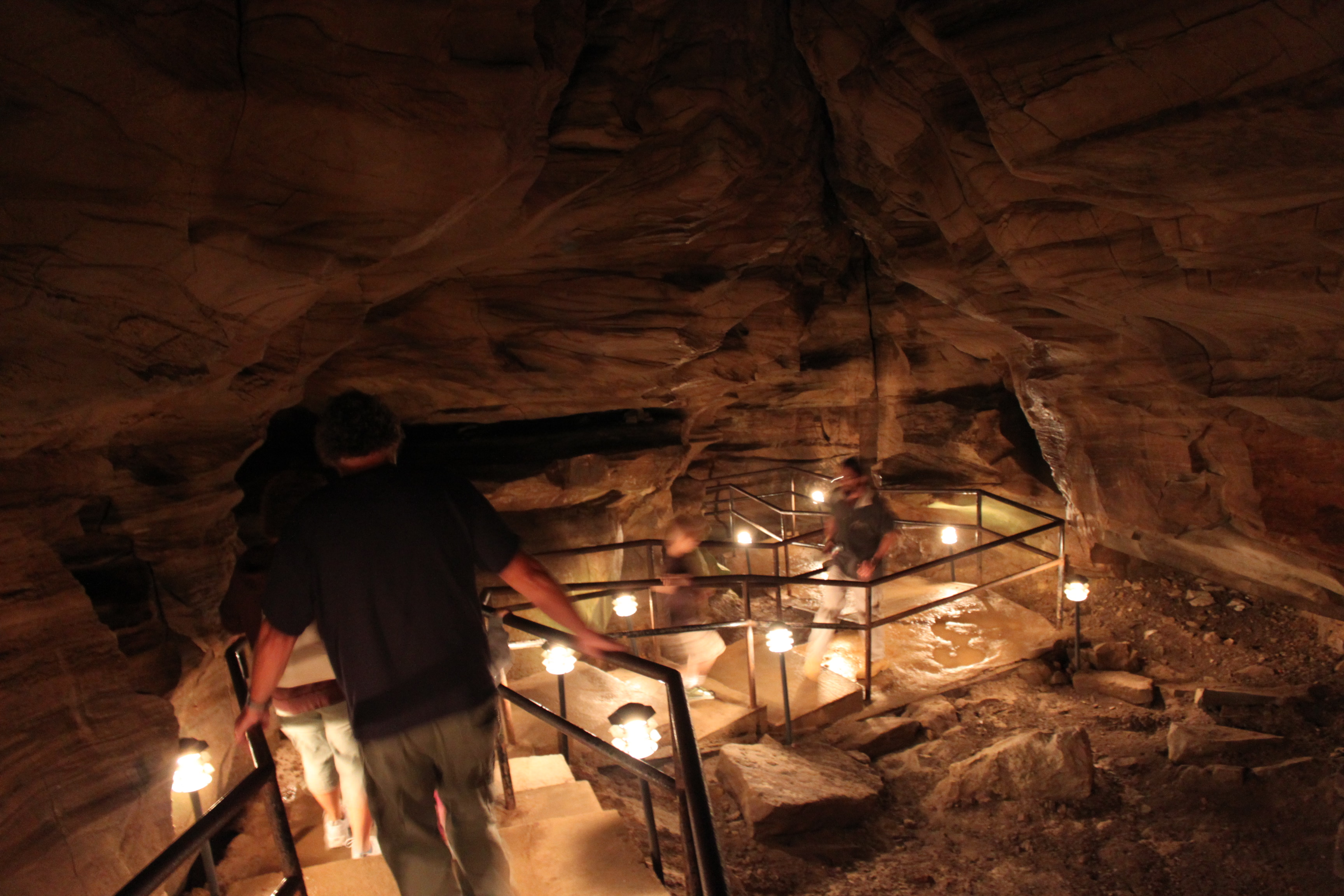
Laurel Caverns is the largest cave in the Commonwealth of Pennsylvania by volume and area. Located in the community of Farmington, it sits on Chestnut Ridge near Uniontown, roughly 50 miles (80 km) southeast of Pittsburgh. Initially an unregulated wild cave that was known by locals and word of mouth as "Dulany's Cave" (alternate spelling: "Dulaney's Cave") during the early 1900s, it was owned, during the 1930s, by Norman Cale and his brother, and then later by Cale and his wife, Helen, who opened it to the general public as a show cave on July 1, 1964, and marketed it as "the caverns in the clouds". In 2025, Pennsylvania Governor Josh Shapiro proposed turning Laurel Caverns into a state park. David and Lilian Cale, who created the Laurel Caverns Conservancy, then donated the property to the Commonwealth of Pennsylvania, and on April 6, 2026, Gov. Shapiro officially announced the grand opening of Laurel Caverns State Park. Laurel Caverns became Pennsylvania's 125th State Park, and its first underground.
- Category
- Local Legends
- Location
- Fayette County, United States
- Coordinates
- 39.79960, -79.71160
- How to get there
- Google MapsApple MapsOpenStreetMap
- Wikidata
- Q10555053
What is Laurel Caverns?
Laurel Caverns is a Local Legends place on VeroMaps. Other places close by: Seneca Glass Company Building, Elizabeth Moore Hall, Monongalia Arts Center, Earl L. Core Arboretum.
Where is Laurel Caverns?
Laurel Caverns is in Fayette County, United States. Coordinates: 39.79960, -79.71160.
How do I get to Laurel Caverns?
Laurel Caverns is at Fayette County, United States (39.79960, -79.71160). Enter these coordinates in Google Maps, Apple Maps or OpenStreetMap for walking, cycling or driving directions.