Urbex & Abandoned
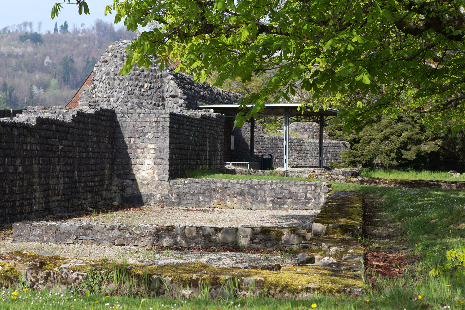
late Roman double fort together with "Sidelen" and early Christian church ground plan with baptismal font
Bad Zurzach, Switzerland
Das spätrömische Doppelkastell Kirchlibuck-Sidelen (auch Doppelkastell Sidelen-Kirchlibuck, Doppelkastell Zurzach-Rheinheim), schützte einen Rheinübergang des Donau-Iller-Rhein-Limes (»spätrömischer Hochrhein-Limes«) im heutigen Bad Zurzach, Kanton Aargau in der Schweiz.
- Category
- Urbex & Abandoned
- Location
- Bad Zurzach, Switzerland
- Address
- Kirchlibuck, Bad Zurzach
- Coordinates
- 47.58535, 8.30046
- How to get there
- Google MapsApple MapsOpenStreetMap
- Wikidata
- Q26821526
What is late Roman double fort together with "Sidelen" and early Christian church ground plan with baptismal font?
late Roman double fort together with "Sidelen" and early Christian church ground plan with baptismal font is a Urbex & Abandoned place on VeroMaps, on Kirchlibuck. Other places close by: Ruine Tegerfelden, Küssaburg, Tiengen Chindlistein, Castle Chapel.
Where is late Roman double fort together with "Sidelen" and early Christian church ground plan with baptismal font?
late Roman double fort together with "Sidelen" and early Christian church ground plan with baptismal font is in Bad Zurzach, Switzerland. Coordinates: 47.58535, 8.30046.
How do I get to late Roman double fort together with "Sidelen" and early Christian church ground plan with baptismal font?
late Roman double fort together with "Sidelen" and early Christian church ground plan with baptismal font is at Kirchlibuck, Bad Zurzach, Switzerland (47.58535, 8.30046). Enter these coordinates in Google Maps, Apple Maps or OpenStreetMap for walking, cycling or driving directions.