Forgotten History
Landgoed Coelhorst
Amersfoort, Netherlands
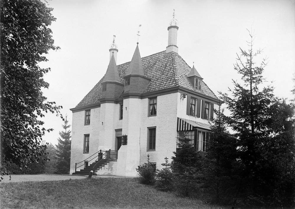
Coelhorst (sometimes also Keulhorst) was a castle northwest of Amersfoort along the Eem. The oldest mention dates from 1253. The castle successively came into the hands of the Lockhorst family, the house of Abcoude (circa 1310), the city of Amersfoort (1360), Jacob van Gaasbeek (1459), the Van Zoest family (1460), the Van Esvelt family (1546), the Van Westreenen family (ca. 1600), Jacob Dierout (1759), Everard Wittert (1759) and the Van Tuyll van Serooskerken family (since 1777). In 1914, an extension was realized - which was larger than the then existing building - according to a design by the Van Nieukerken architectural firm from The Hague, commissioned by the later Hooglandse mayor Henri Charles Baron van Tuyll van Serooskerken (1884-1950) and his wife Marcelle Baroness de Smeth (1889-1960).
- Category
- Forgotten History
- Location
- Amersfoort, Netherlands
- Coordinates
- 52.18056, 5.34750
- How to get there
- Google MapsApple MapsOpenStreetMap
- Wikidata
- Q11721874
What is Landgoed Coelhorst?
Landgoed Coelhorst is a Forgotten History place on VeroMaps. Other places close by: Kapel van Coelhorst, Maria Koninginkerk, Kapel van Isselt, Werk aan de Glashut.
Where is Landgoed Coelhorst?
Landgoed Coelhorst is in Amersfoort, Netherlands. Coordinates: 52.18056, 5.34750.
How do I get to Landgoed Coelhorst?
Landgoed Coelhorst is at Amersfoort, Netherlands (52.18056, 5.34750). Enter these coordinates in Google Maps, Apple Maps or OpenStreetMap for walking, cycling or driving directions.