Forgotten History
La Serra
Zernez, Switzerland
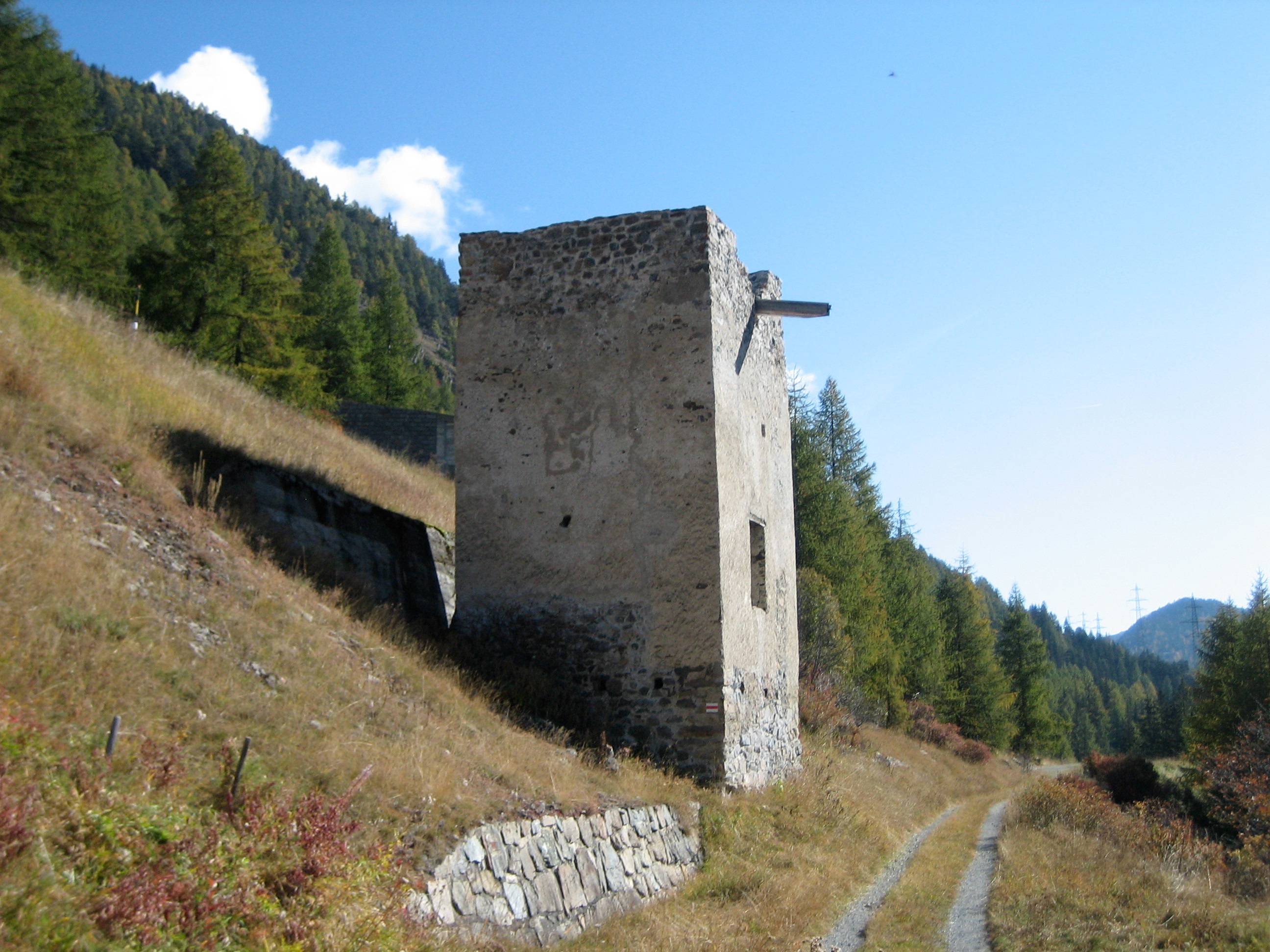
La Serra war eine Talsperre oberhalb von Zernez im Engadin im Schweizer Kanton Graubünden. Die Ruinen liegen südöstlich des Dorfes an der Passstrasse. Der Name leitet sich ab vom rätoromanischen Wort serrar (im Idiom Vallader = zusperren, abschliessen).
- Category
- Forgotten History
- Location
- Zernez, Switzerland
- Coordinates
- 46.69780, 10.10930
- How to get there
- Google MapsApple MapsOpenStreetMap
- Wikidata
- Q1799141
What is La Serra?
La Serra is a Forgotten History place on VeroMaps. Other places close by: Swiss National Park, Fortezza Rohan, Tuor Planta, Gonda.
Where is La Serra?
La Serra is in Zernez, Switzerland. Coordinates: 46.69780, 10.10930.
How do I get to La Serra?
La Serra is at Zernez, Switzerland (46.69780, 10.10930). Enter these coordinates in Google Maps, Apple Maps or OpenStreetMap for walking, cycling or driving directions.