Local Legends
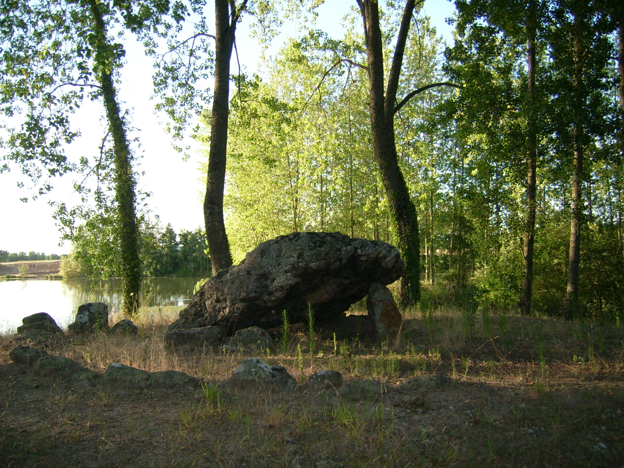
La Pierre Levée
La Roche-Posay, France
Der Dolmen de la Pierre Levée (deutsch: angehobener Felsen) ist eine neolithische Megalithanlage etwa 2,5 km südwestlich der Kleinstadt Yzeures-sur-Creuse im Département Indre-et-Loire in der Touraine in Frankreich. Er ist nicht als Monument historique registriert. Dolmen ist in Frankreich der Oberbegriff für neolithische Megalithanlagen aller Art (siehe: Französische Nomenklatur).
- Category
- Local Legends
- Location
- La Roche-Posay, France
- Coordinates
- 46.77750, 0.83900
- How to get there
- Google MapsApple MapsOpenStreetMap
- Wikidata
- Q26882934
What is La Pierre Levée?
La Pierre Levée is a Local Legends place on VeroMaps. Other places close by: Château de la Guerche, Château de La Celle-Guenand, Pont Henri-IV, Châtellerault, Pont Camille-de-Hogues.
Where is La Pierre Levée?
La Pierre Levée is in La Roche-Posay, France. Coordinates: 46.77750, 0.83900.
How do I get to La Pierre Levée?
La Pierre Levée is at La Roche-Posay, France (46.77750, 0.83900). Enter these coordinates in Google Maps, Apple Maps or OpenStreetMap for walking, cycling or driving directions.