Urbex & Abandoned
La Grange Mine
Trinity County, United States
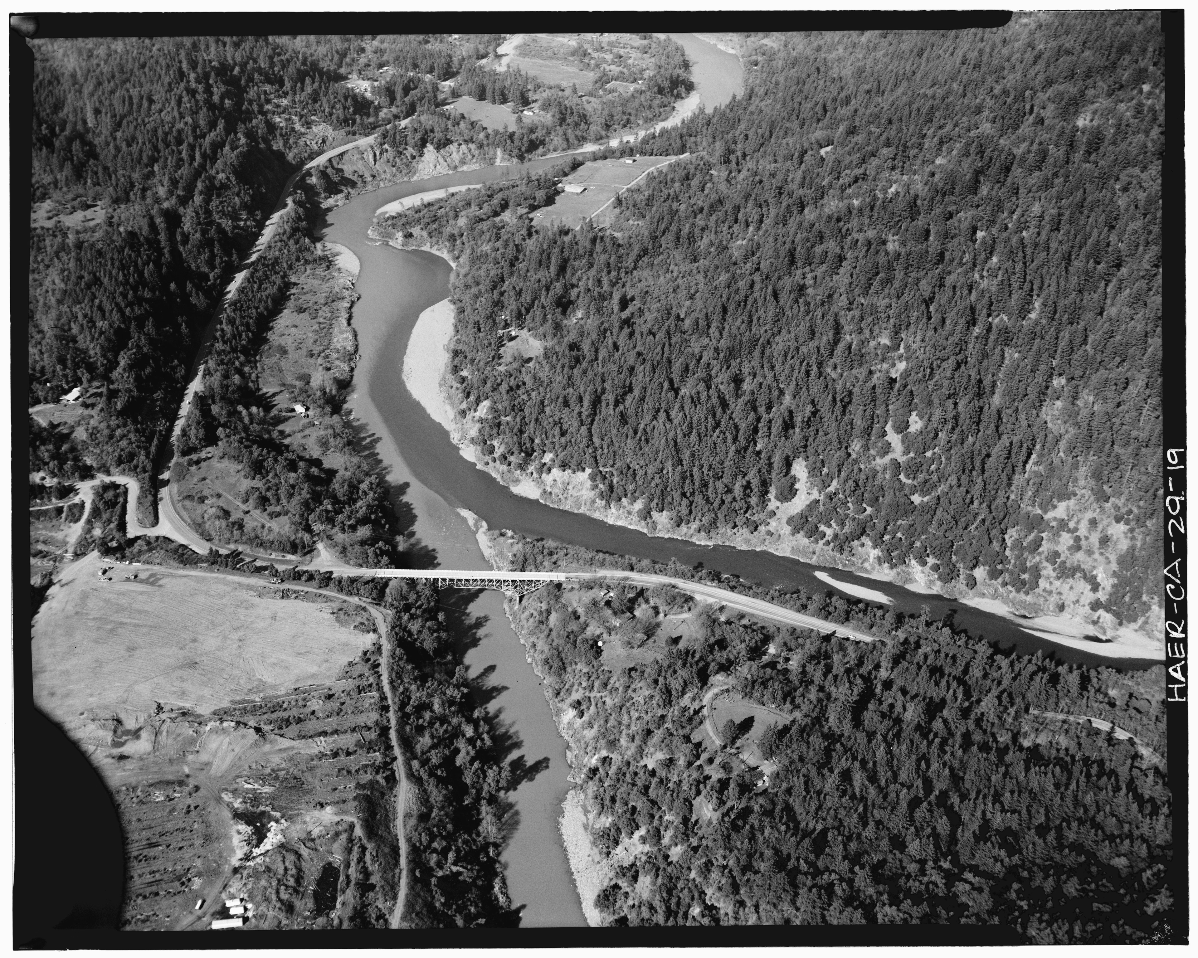
The La Grange Mine is a former mine located in Trinity County, California. At one time it was the largest hydraulic mine in California. Started operating in 1862, over 3,500,000 dollars of gold was extracted before it was closed down in 1918 due to rising costs of labor and steel after World War I.
- Category
- Urbex & Abandoned
- Location
- Trinity County, United States
- Coordinates
- 40.74110, -122.99100
- How to get there
- Google MapsApple MapsOpenStreetMap
- Wikidata
- Q6462901
What is La Grange Mine?
La Grange Mine is a Urbex & Abandoned place on VeroMaps. Other places close by: Iron Mountain Mine, Turtle Bay Exploration Park, Dunsmuir Botanical Gardens, Humboldt Bay Woolen Mill.
Where is La Grange Mine?
La Grange Mine is in Trinity County, United States. Coordinates: 40.74110, -122.99100.
How do I get to La Grange Mine?
La Grange Mine is at Trinity County, United States (40.74110, -122.99100). Enter these coordinates in Google Maps, Apple Maps or OpenStreetMap for walking, cycling or driving directions.