Forgotten History
Kuglvajt
Brloh, Czech Republic
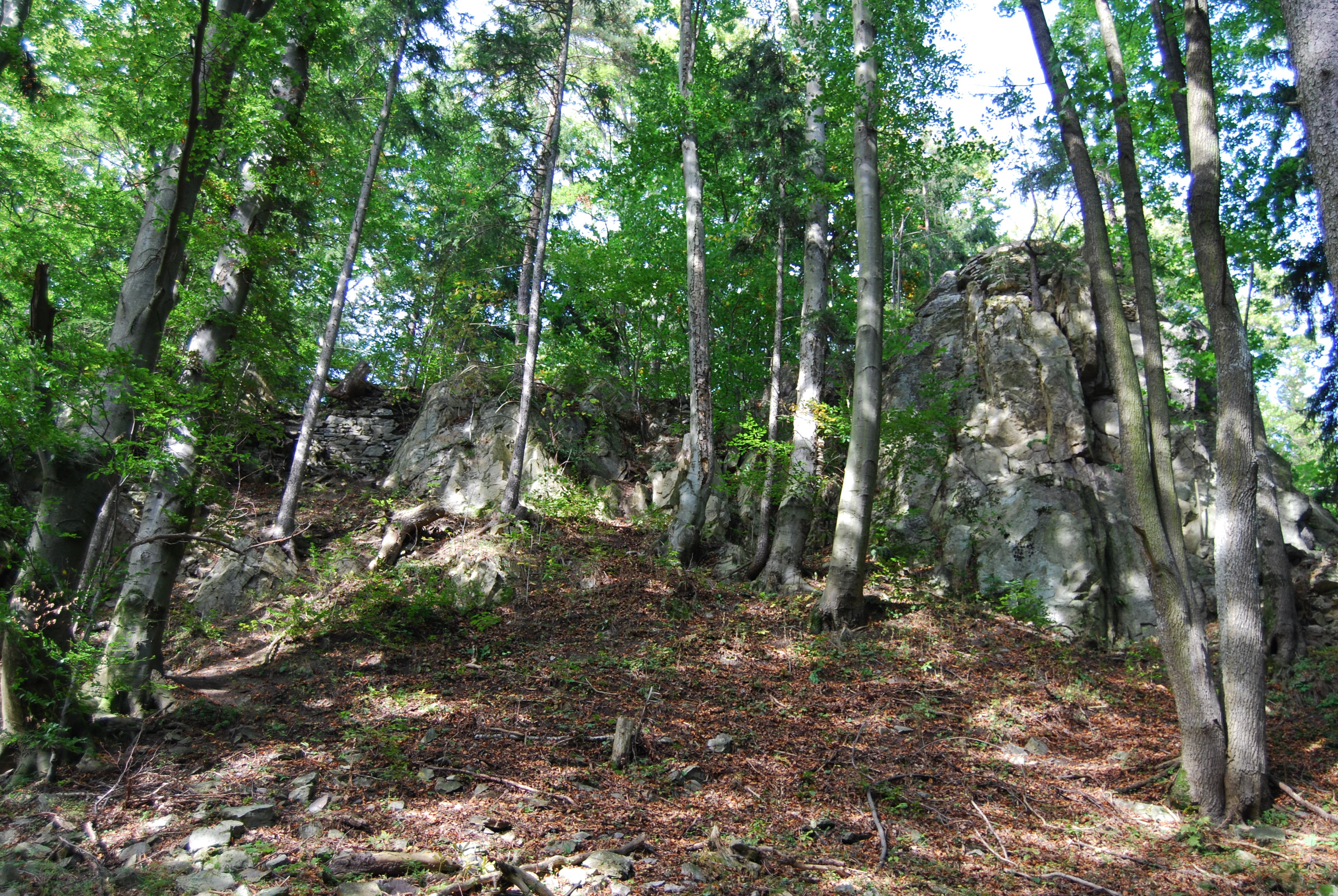
Burg und Kloster Kuklov (deutsch Kugelweid, auch Kuglweit, Kuglwaid) befinden sich drei Kilometer nördlich von Brloh pod Kletí im Blanský les in Tschechien.
- Category
- Forgotten History
- Location
- Brloh, Czech Republic
- Coordinates
- 48.93039, 14.18297
- How to get there
- Google MapsApple MapsOpenStreetMap
- Wikidata
- Q1014721
What is Kuglvajt?
Kuglvajt is a Forgotten History place on VeroMaps. Other places close by: Dobročkov, Tisovka, Třísovská lípa, Dívčí kámen.
Where is Kuglvajt?
Kuglvajt is in Brloh, Czech Republic. Coordinates: 48.93039, 14.18297.
How do I get to Kuglvajt?
Kuglvajt is at Brloh, Czech Republic (48.93039, 14.18297). Enter these coordinates in Google Maps, Apple Maps or OpenStreetMap for walking, cycling or driving directions.