Forgotten History
Królikarnia
Warsaw, Poland
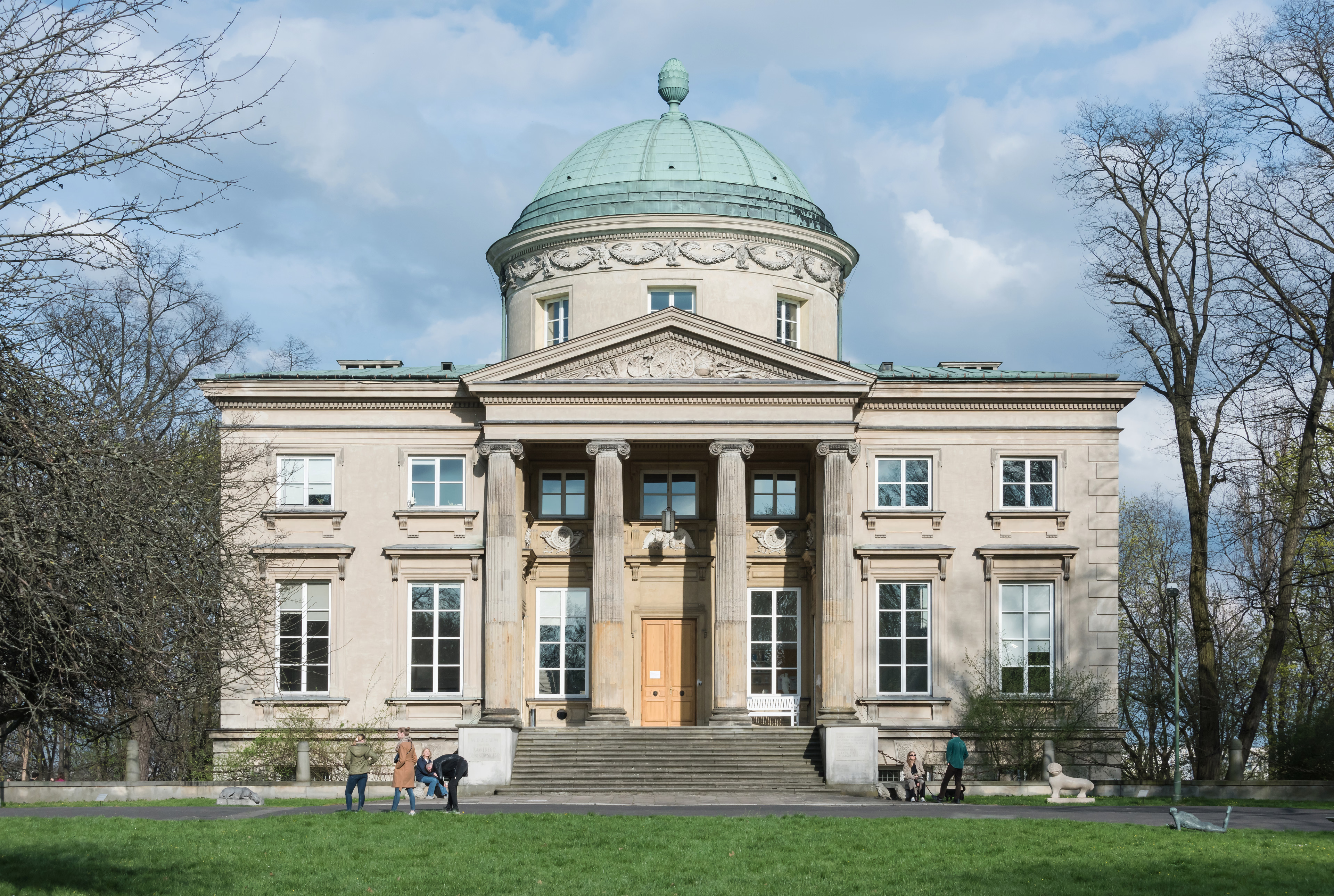
Królikarnia (in English, "The Rabbit House") is a historic classicist palace in Warsaw, Poland; and a neighborhood in the Mokotów district of Warsaw. Since 1965, the palace has housed a museum dedicated to Polish sculptor Xawery Dunikowski.
- Category
- Forgotten History
- Location
- Warsaw, Poland
- Coordinates
- 52.18900, 21.02847
- How to get there
- Google MapsApple MapsOpenStreetMap
- Wikidata
- Q1163049
What is Królikarnia?
Królikarnia is a Forgotten History place on VeroMaps. Other places close by: Ksawerów Palace, Fort Tsche, Fort M-Che, Żółta Karczma.
Where is Królikarnia?
Królikarnia is in Warsaw, Poland. Coordinates: 52.18900, 21.02847.
How do I get to Królikarnia?
Królikarnia is at Warsaw, Poland (52.18900, 21.02847). Enter these coordinates in Google Maps, Apple Maps or OpenStreetMap for walking, cycling or driving directions.