Photo corners
Kralendijk Lighthouse
Kralendijk, Germany
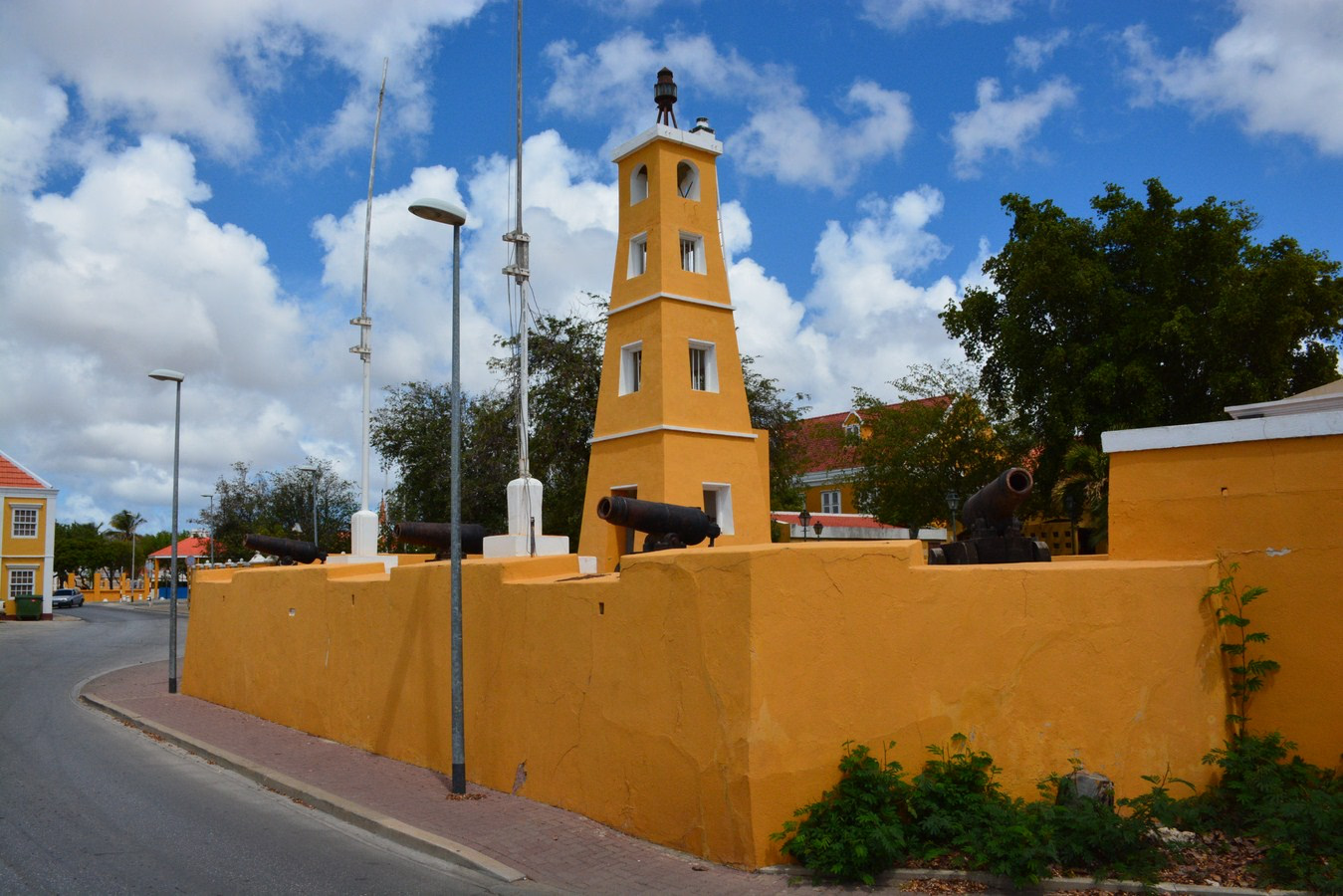
Kralendijk Lighthouse (or Fort Oranje Lighthouse) is an active lighthouse in the town of Kralendijk, Bonaire, in the Caribbean Netherlands. It was built in 1932 on the grounds of Fort Oranje, a 17th century fort.
- Category
- Photo Spots
- Location
- Kralendijk, Germany
- Coordinates
- 12.14881, -68.27681
- How to get there
- Google MapsApple MapsOpenStreetMap
- Wikidata
- Q29509706
What is Kralendijk Lighthouse?
Kralendijk Lighthouse is a Photo Spots place on VeroMaps. Other places close by: St. Bernard Church, St. Louis Bertrand Church, Lacre Punt Lighthouse, Fort Piscadera.
Where is Kralendijk Lighthouse?
Kralendijk Lighthouse is in Kralendijk, Germany. Coordinates: 12.14881, -68.27681.
How do I get to Kralendijk Lighthouse?
Kralendijk Lighthouse is at Kralendijk, Germany (12.14881, -68.27681). Enter these coordinates in Google Maps, Apple Maps or OpenStreetMap for walking, cycling or driving directions.