Photo corners
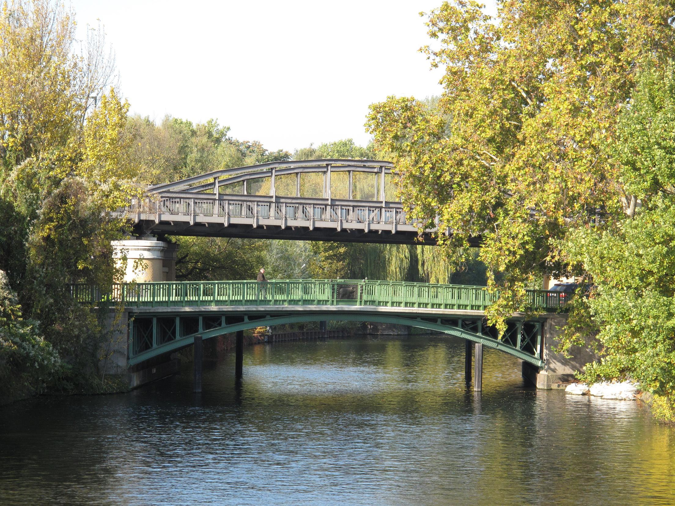
Köthener Bridge
Friedrichshain-Kreuzberg, Germany
Die Köthener Brücke ist eine im Jahr 1910 fertiggestellte Straßenbrücke im Berliner Ortsteil Kreuzberg, die die Köthener Straße vom Reichpietschufer / Halleschen Ufer zum Schöneberger Ufer über den Landwehrkanal führt.
- Category
- Photo Spots
- Location
- Friedrichshain-Kreuzberg, Germany
- Coordinates
- 52.50280, 13.37490
- How to get there
- Google MapsApple MapsOpenStreetMap
- Wikidata
- Q1796750
What is Köthener Bridge?
Köthener Bridge is a Photo Spots place on VeroMaps. Other places close by: Anhalter high bunker Berlin, Kollhoff Tower, Weinhaus Rheingold, Café Josty.
Where is Köthener Bridge?
Köthener Bridge is in Friedrichshain-Kreuzberg, Germany. Coordinates: 52.50280, 13.37490.
How do I get to Köthener Bridge?
Köthener Bridge is at Friedrichshain-Kreuzberg, Germany (52.50280, 13.37490). Enter these coordinates in Google Maps, Apple Maps or OpenStreetMap for walking, cycling or driving directions.