Urbex & Abandoned
Konin Coal Mine
Greater Poland Voivodeship, Poland
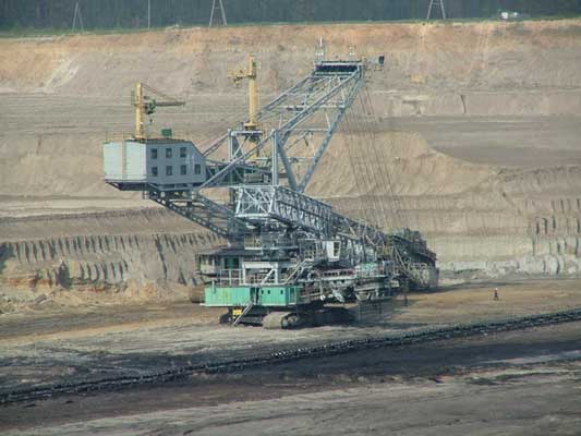
The Konin coal mine is a large mine in the central of Poland in Konin, Greater Poland Voivodeship, 186 km north-west of the capital, Warsaw. Konin represents one of the largest coal reserve in Poland having estimated reserves of 466.4 million tonnes of coal. The annual coal production is around 20 million tonnes.
- Category
- Urbex & Abandoned
- Location
- Greater Poland Voivodeship, Poland
- Coordinates
- 52.32250, 18.24861
- How to get there
- Google MapsApple MapsOpenStreetMap
- Wikidata
- Q6429370
What is Konin Coal Mine?
Konin Coal Mine is a Urbex & Abandoned place on VeroMaps. Other places close by: Gosławice Castle, Sokół Oak, Koło Castle, Former faience and porcelain factory in Koło.
Where is Konin Coal Mine?
Konin Coal Mine is in Greater Poland Voivodeship, Poland. Coordinates: 52.32250, 18.24861.
How do I get to Konin Coal Mine?
Konin Coal Mine is at Greater Poland Voivodeship, Poland (52.32250, 18.24861). Enter these coordinates in Google Maps, Apple Maps or OpenStreetMap for walking, cycling or driving directions.